Birding in Port Aransas

Amanda — we went bird watching! I have no idea what we saw. I just remember one lady was very excited about some kiskadees. We intended to see some whooping cranes, since it was the Whooping Crane Festival after all, but we didn’t have any luck. We did end up on a meandering adventure around Port Aransas that took us to the Leonabelle Turnbull Birding Center, Port Aransas South Jetty, Port Aransas Nature Preserve, and the Joan and Scott Holt Paradise Pond.

Port Aransas Birding

Port Aransas Birding

Me, backing away toward car: Uh…that signs says there’s alligators. Maybe we shouldn’t go. We probably shouldn’t go down there.
Kenan: It’s fine. Other people are on the trail. There probably aren’t any alligators anyways.
Two minutes later (right under the boardwalk!)…

Port Aransas Birding

Port Aransas Birding

Port Aransas Birding

Port Aransas Birding

Bosque del Apache National Wildlife Refuge

When we mentioned our plans to visit the VLA, our Airbnb host recommended we end the day with a trip to Bosque del Apache for the sunset fly-in. Every evening, thousands of geese and birds fly to a patch of land in the park to settle down for the night. Perhaps you’re thinking what I was…”hmm, what is so special about this?” But it was actually a really impressive thing to watch! There were tens of thousands of birds, and when one small group got worked up, it set off a chain reaction and suddenly there was a riot of honking and flapping.

Bosque del Apache

Bosque del Apache

Bosque del Apache

Bosque del Apache

Bosque del Apache

Bosque del Apache

Bosque del Apache

Curious how loud thousands of birds can be? Check out our short video on Instagram!

Petroglyph National Monument

Petroglyph National Monument

On the outskirts of Albuquerque is the Petroglyph National Monument. There are a few hiking trails, all a short drive from the visitor center. The park ranger we spoke with recommended the Piedras Marcadas Canyon Trail. It’s a relatively easy walk, but be prepared to leave with shoes full of sand!

Petroglyph National Monument

Petroglyph National Monument

The park ranger gave us a map with a short list of petroglyphs to look for at marked stops along the trail. We paused for several minutes at stop one, but couldn’t find the mark! We improved our scouting skills further along the trail, and spotted lots of markings on the basalt rocks.

Petroglyph National Monument

A couple of Jack Rabbits were chasing each other near the trail. Can you spot one in the photo below?

Petroglyph National Monument

Whale Watching in Monterey Bay

In elementary school I did The Voyage of the Mimi program, kick-starting a lifelong love of whales and sea shanties.

Whale watching in Monterey Bay

In middle school I bought a kit to adopt a whale, and her name was Buckshot. (Thanks for taking me to Cape Cod, Auntie N and Uncle N!) I still have the photo of her tail and fluke patterns, you know, so I’d recognize her when out on the high seas.

Whale watching in Monterey Bay

Whale watching in Monterey Bay

All this to say, I have been super excited about living near the ocean this month and the opportunity to see some whales! We took a morning cruise on the Princess Monterey and saw two humpback whales swimming together. It was pretty amazing.

On the way back to the wharf, we passed by a group of sea lions lounging on a buoy, and then a whole jetty full of them! The ones swimming around with their fins up are regulating their temperatures, not pretending to be sharks.

Sea lions in Monterey Bay

Sea lions in Monterey Bay

Sea lions in Monterey Bay

Walking around the wharf after the cruise, we also spotted a big pelican and two sea otters playing in the water. (The sea otters are those two blobs between the buoys—a NatGeo contest winner for sure.)

Pelican? in Monterey Bay

Monterey Bay Sea Otters

Ok, back to whales. Sometimes, we can see them from the apartment! Do you see that small patch of white below, between the top of the building and the land? That’s the spray from a humpback whale! Sometimes they wave hello with their fins! #humblebrag #sorrynotsorry #havingawhaleygoodtime


Save

Point Reyes National Seashore

We began our day at Point Reyes with a walk along the Earthquake Trail. Yup! The San Andreas Fault runs right along the peninsula. Thankfully it was a peaceful walk and we didn’t feel any tremors.

Our next stop was the southern end of the park to visit the lighthouse. Here’s a recap in two words: foggy and windy! “Point Reyes is the windiest place on the Pacific Coast and the second foggiest place on the North American continent.”

Point Reyes National Seashore

A short walk through the fog brought us to the top of a steep set of 308 stairs. It was so foggy that we couldn’t even see the lighthouse at the bottom!

Point Reyes National Seashore

Point Reyes National Seashore

Point Reyes National Seashore

Point Reyes National Seashore

Point Reyes National Seashore

Point Reyes National Seashore

Of course after we climbed down 308 steps, we had to climb back up! But along the way there were some nice views of the ocean.

Point Reyes National Seashore

Point Reyes National Seashore

Then we headed to the northern end of the park, to hike the Tomales Point Trail. This trail was also foggy and windy! It winds through the Tule Elk Reserve and we spotted a big herd in a valley.

Point Reyes National Seashore

Point Reyes National Seashore

Tule Elk Preserve at Point Reyes National Seashore

Tule Elk Preserve at Point Reyes National Seashore

Our last stop in the park was the McClures Beach Trail. It was a little under a mile, pretty steep, and took us through a ravine to the Pacific Ocean. I’m a fan of the beaches around here: cliffs, big rocks, tide pools, crashing waves. It was very scenic.

Point Reyes National Seashore

Point Reyes National Seashore

Point Reyes National Seashore

We walked along the sand towards the rocks and Kenan found a hidden path to a secret beach — so cool! And we were able to catch the sun breaking through the fog just in time for a pretty sunset.

McClures Beach, Point Reyes

Point Reyes National Seashore

Point Reyes National Seashore

Antelope Island State Park

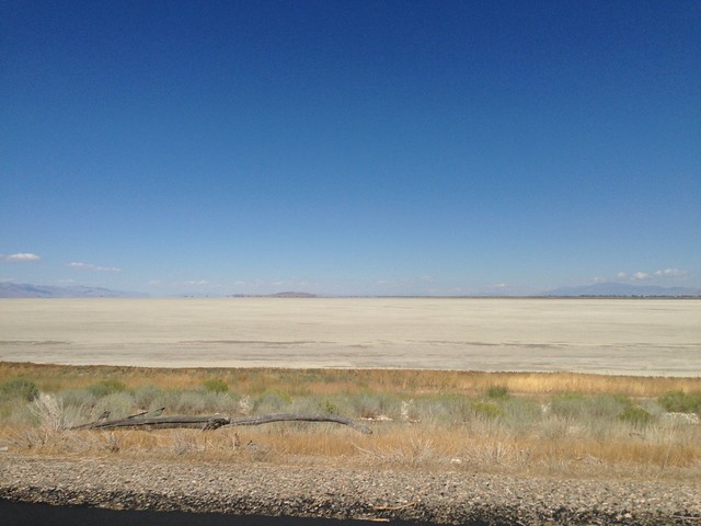
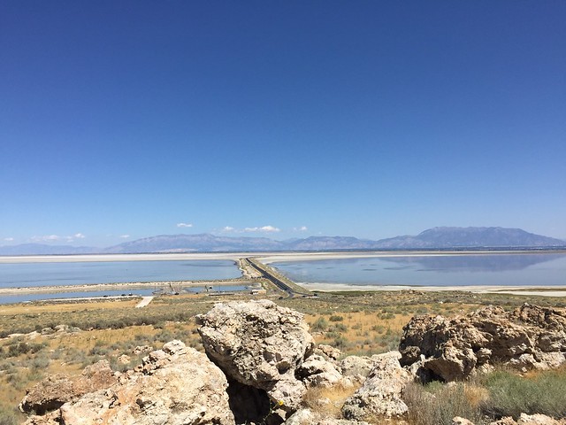
The only way to reach Antelope Island by car is by driving across seven miles of a two-lane causeway. On either side is a smelly bay, with fields of salt close to the road.

Antelope Island State Park

Antelope Island State Park

Now that you’ve reached the island, you can roll down the windows and enjoy the breeze. Keep an eye out for bison as you drive up to the visitor center.

Antelope Island State Park

Antelope Island State Park

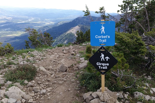
When the friendly park ranger recommends a couple of easy hikes, keep in mind that her definition of “easy” may not be the same as yours. Go on the hikes anyway! Start with the Buffalo Point Trail, which is short but also quite steep.

Antelope Island State Park

Antelope Island State Park

Buffalo Point Trail, Antelope Island State Park

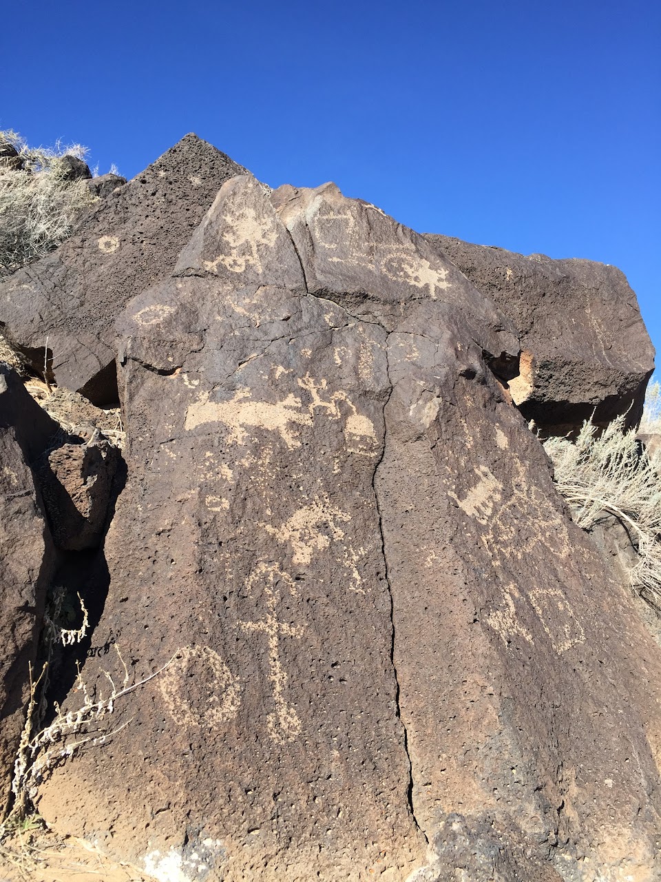
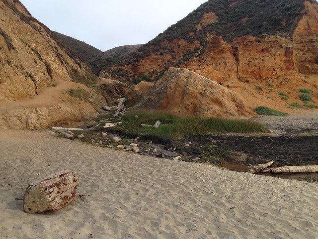
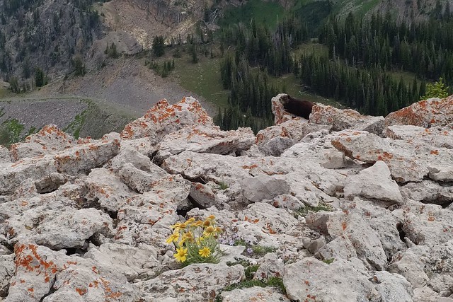
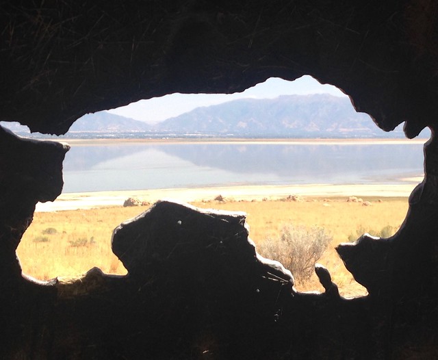
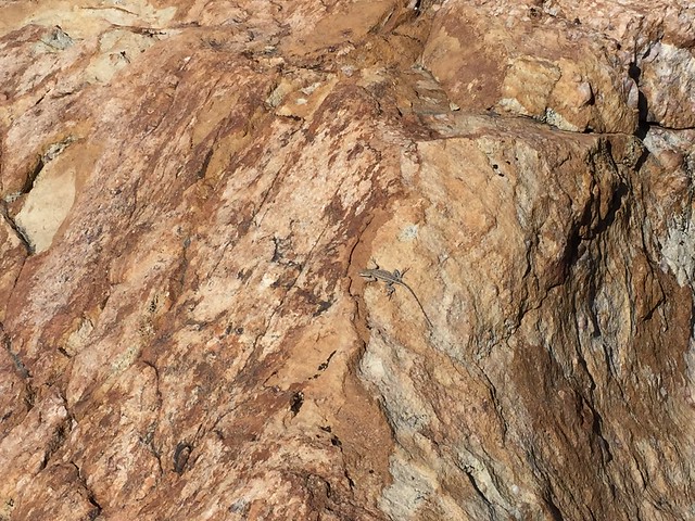
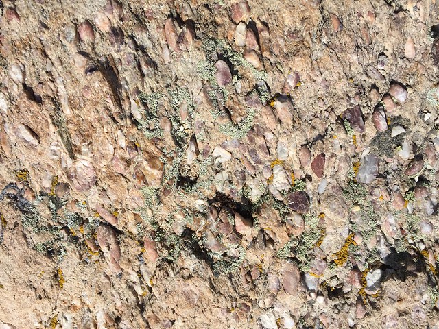
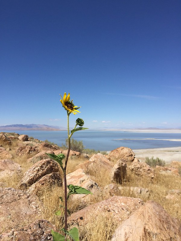
On your walk you will see some very cool rocks, a few wildflowers, and lots of tiny lizards. The lizards will scamper out of your way so quickly that you don’t even have a chance to be scared of them.

Antelope Island State Park

Antelope Island State Park

Antelope Island State Park

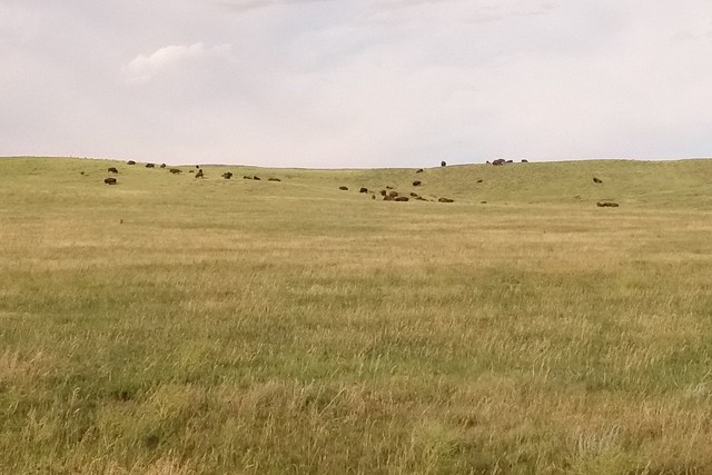
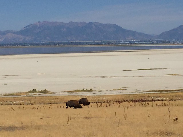
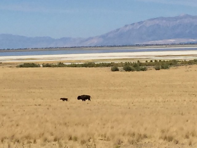
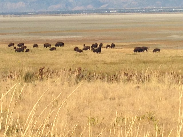
Now you can rest for a bit as you drive to the other side of the island. Watch the fields for bison and antelope. You may even see more bison here than at Custer!

Antelope Island State Park

Antelope Island State Park

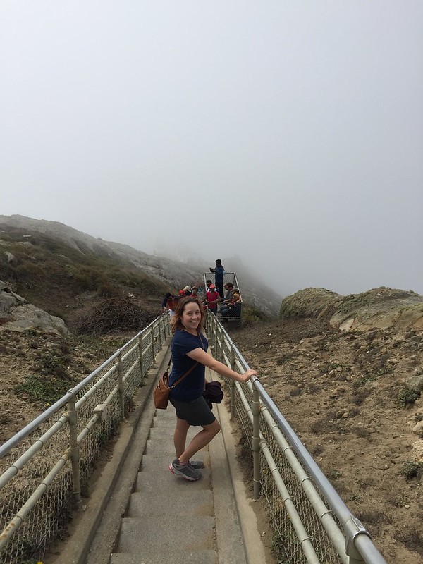
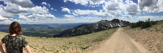
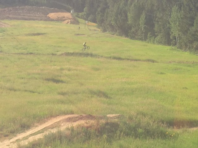
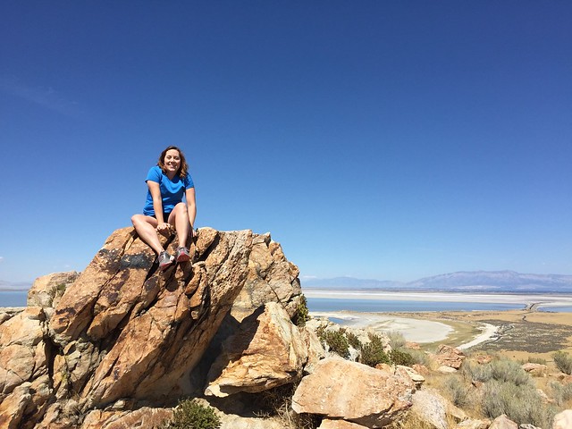
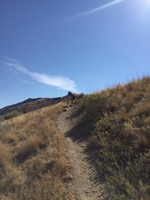
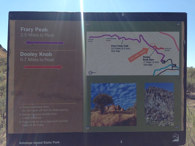
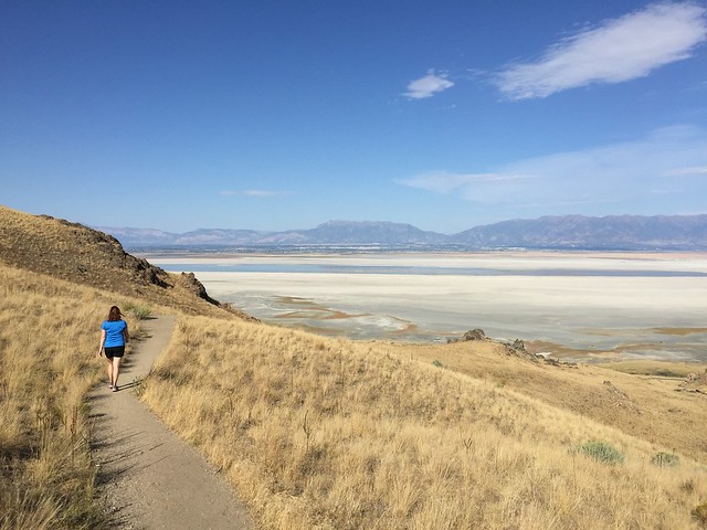
It’s time to start the Frary Peak Trail that takes you to Dooley Knob. Carry water and snacks. Ignore the fact that the entire trail is uphill.

Frary Peak & Dooley Knob Trail, Antelope Island State Park

Frary Peak & Dooley Knob Trail, Antelope Island State Park

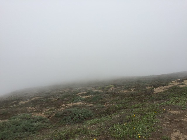
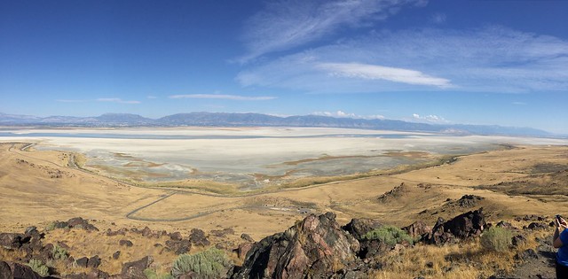
You can’t ignore that the entire trail is uphill. Stop often to catch your breath, er, look out over the wondrous landscape.

Antelope Island State Park

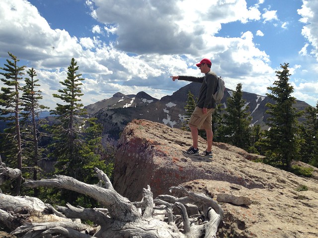
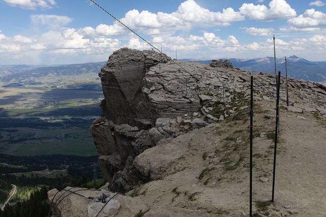
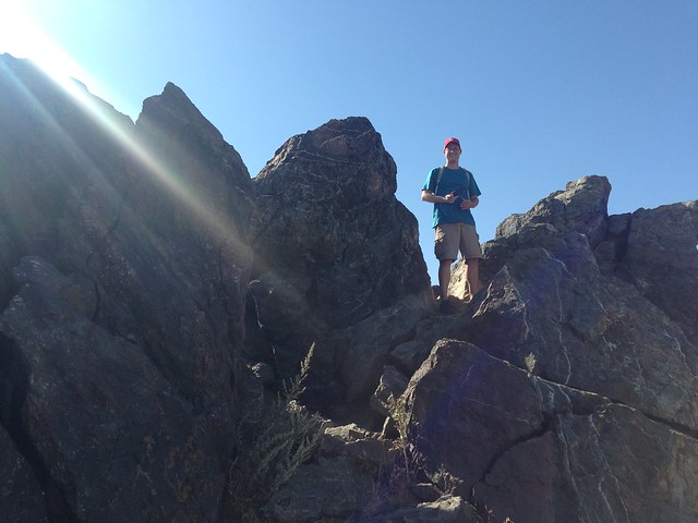
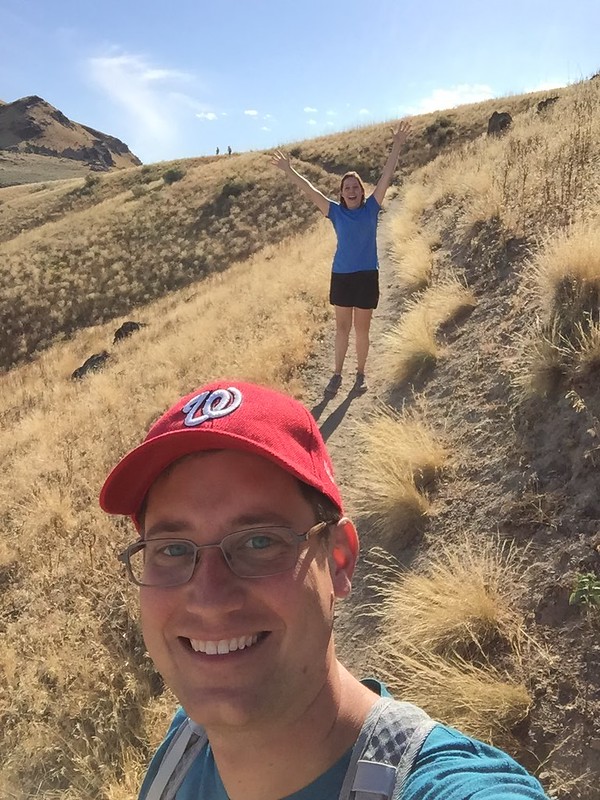
You made it to the top! Oh, wait, nope. You’ve made it to the beginning of the Dooley Knob Spur. Onward!

Frary Peak & Dooley Knob Trail, Antelope Island State Park

Frary Peak & Dooley Knob Trail, Antelope Island State Park

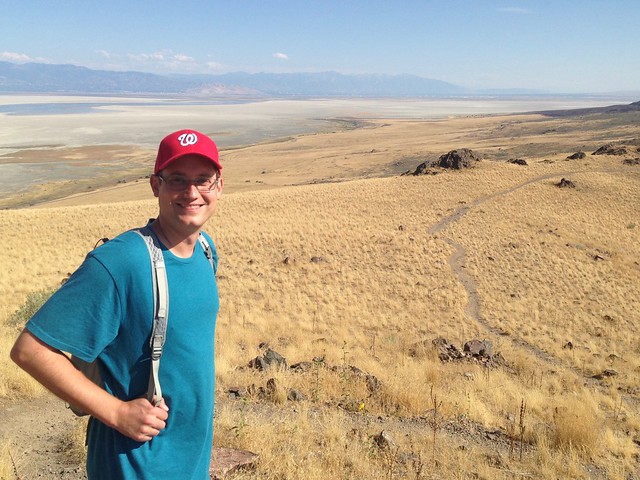
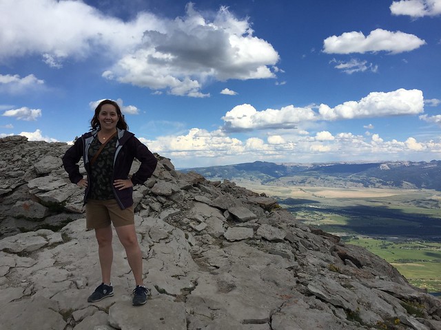
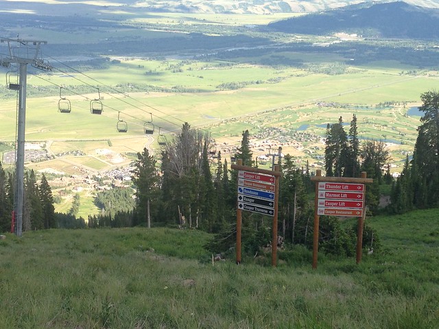
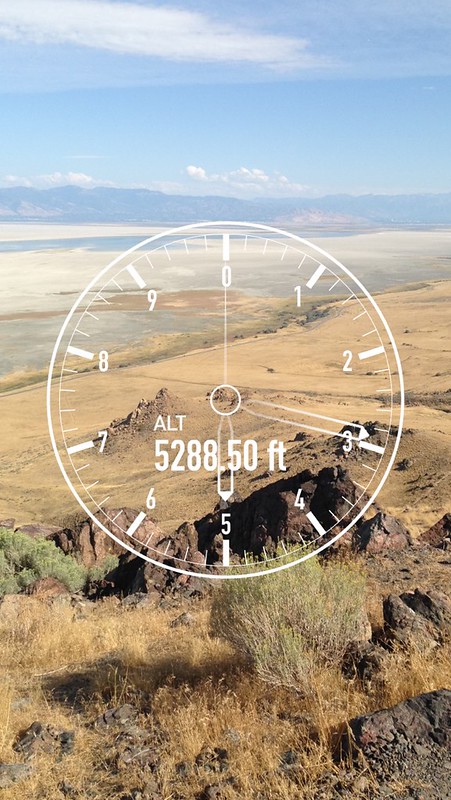
Now you’ve made it to the top! Hooray! You’re at 5200 feet! See how tiny your car looks from up here. Even Salt Lake City looks small in the distance.

Antelope Island State Park

Antelope Island State Park

Frary Peak & Dooley Knob Trail, Antelope Island State Park

Frary Peak & Dooley Knob Trail, Antelope Island State Park

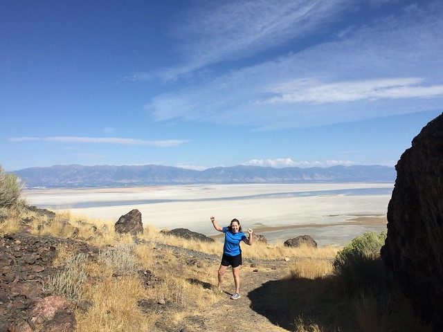
Head back downhill to explore more of the island. Give yourself a high five for being outdoorsy!

Antelope Island State Park

Antelope Island State Park

Drive down the east side of the island for more bison and pronghorn spotting.

Antelope Island State Park

Antelope Island State Park

Antelope Island State Park

Turn around at the horse barns and head back towards the causeway. Watch out for bison crossing the road!

Antelope Island State Park

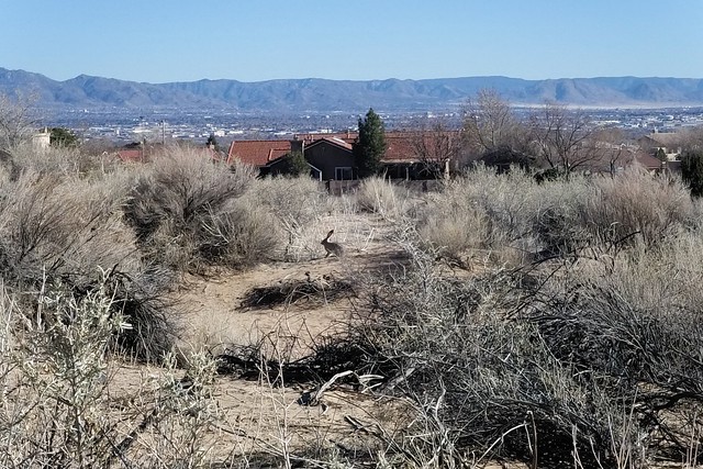
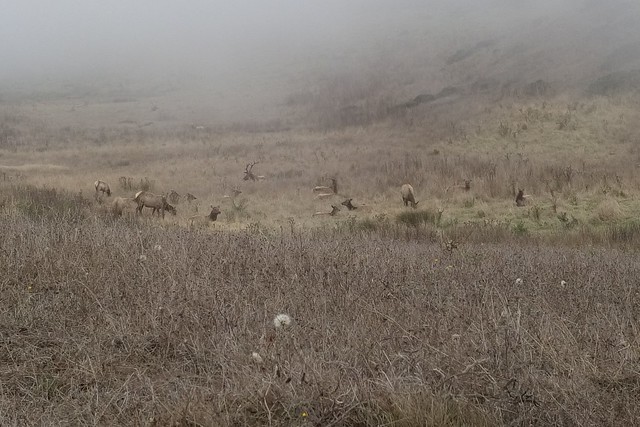
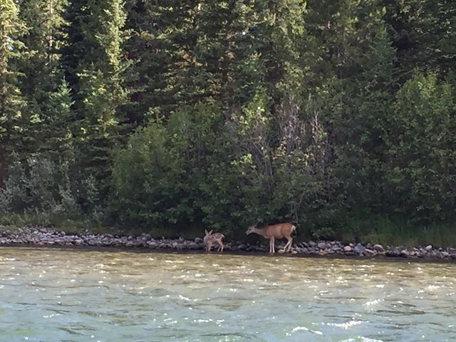
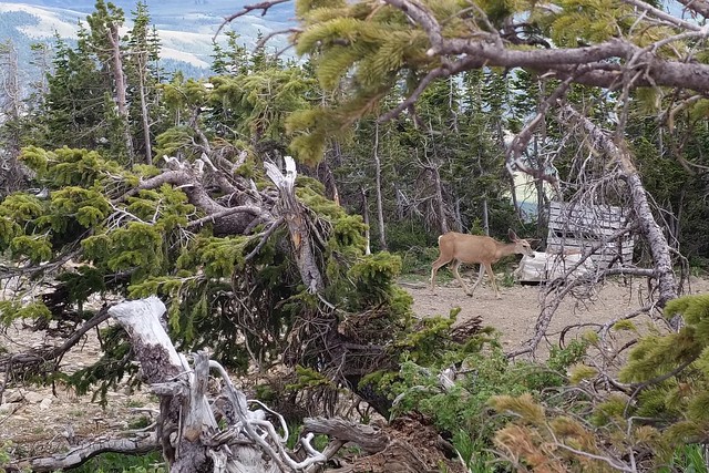
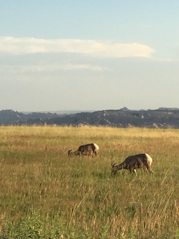
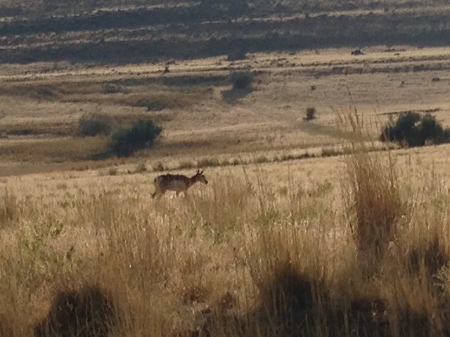
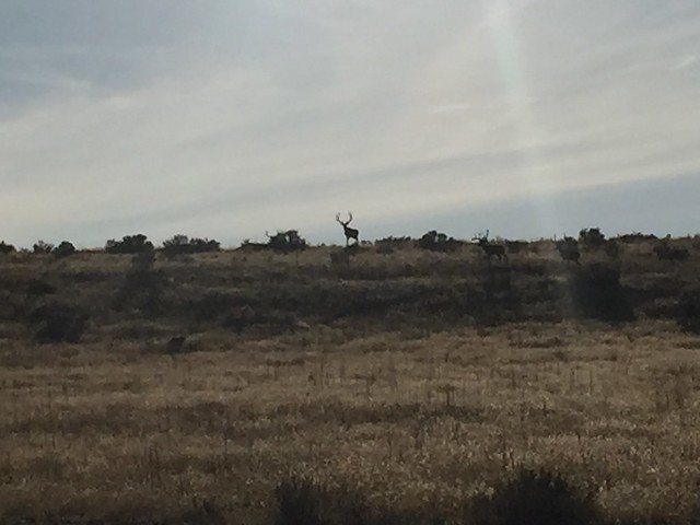
End your visit to the island by spotting a small group of mule deer on the hillside.

Antelope Island State Park


Save

Save

Save

Save

Save

Mt Rendezvous

The Jackson Hole Aerial Tram takes you up about 4000 ft to the top of Rendezvous Mountain in 12 minutes. As you might guess, the views are amazing! The mountain is part of a ski resort, and there are trails running down on all sides. We walked a couple of trails that looped around the summit, which is at 10,000 feet! It was windy and about 10 degrees cooler than the base.

Jackson Hole Aerial Tram

Walking around Mt Rendezvous

View from Mt Rendezvous

Walking around Mt Rendezvous

Walking around Mt Rendezvous

Walking around Mt Rendezvous

In the winter, people ski down this! Like, right off the rocks on the left!

Walking around Mt Rendezvous

Walking around Mt Rendezvous

Walking around Mt Rendezvous

Walking around Mt Rendezvous

While on the trails, we came across a deer and a marmot. The marmot moves pretty fast!

Walking around Mt Rendezvous

Spotting a marmot while walking around Mt Rendezvous

We also took a ride on the Bridger Gondola (up a different mountain) at the resort. This one passed over some mountain biking trails, and it was fun to watch the riders jumping and doing tricks.

View from Bridger Gondola, Teton Village

View from Bridger Gondola, Teton Village

Bridger Gondola ride at Teton Village


Save

Custer State Park

We traveled to Custer State Park along the Iron Mountain Road. This road is bonkers! There are wooden pigtail bridges, where you curly-cue your way up the mountain, several switchbacks, and a few one lane tunnels, which are carved out of the stone to perfectly frame a distant view of Mount Rushmore.

In Custer State Park, we took the Wildlife Loop Road — a 25mph trip along an 18-mile road through vast grasslands. For miles, the only wildlife we saw was one deer, but finally we found the bison herd. TATANKA! (Kevin Costner narrates the film at the new visitor’s center.) They were grazing in the distance, but we had a good view with the binoculars. Further down the loop, we also saw the infamous burros and a bunch of prairie dogs.

Bison at Custer State Park

Binocular view of bison at Custer State Park

Burros at Custer State Park

Coming out of the Wildlife Loop, we drove up Needles Highway (thanks for the tip, mom and dad!) to Sylvan Lake. That’s another crazy road! Up close views of towering rocks that seem to pop up out of nowhere, and nice overlooks to see the forest.

Needles Highway, Custer State Park

Scenic overlook on Needles Highway, Custer State Park

Needles Highway, Custer State Park

Needles Highway, Custer State Park

Sunset at Sylvan Lake, Custer State Park


Save

Badlands National Park

Badlands National Park is amazing! And our visit began with a helicopter ride! It was really neat to see the rock formations from above. We spent all day in the park, stopping at scenic lookouts and walking on the trails. In the evening we spotted bighorn sheep and prairie dogs. We even went back later that night for an astronomy program. Telescopes were set up to view the moon and a few planets — we saw Jupiter and its four moons!

Badlands National Park

Badlands National Park

Badlands National Park

Badlands National Park

Badlands National Park

Badlands National Park

Badlands National Park

Badlands National Park

Badlands National Park

Badlands National Park


Save