2017 Rose Bowl Parade

Did you watch the Rose Bowl parade on tv? Maybe you saw us in the crowd! My parents came to visit us in California for the holidays, and took us to the parade last Monday.

We had reserved seats on the bleachers, so we had a great view of the floats and bands as they passed.

2017 Rose Bowl Parade

2017 Rose Bowl Parade

2017 Rose Bowl Parade

Some of the floats had special effects, like moving sculptures, surfing dogs, or a live volleyball match with Olympic athletes! One float even had a mini roller coaster on it!

HAPPY NEW YEAR!


Save

Save

Save

Save

Save

Indian Canyons

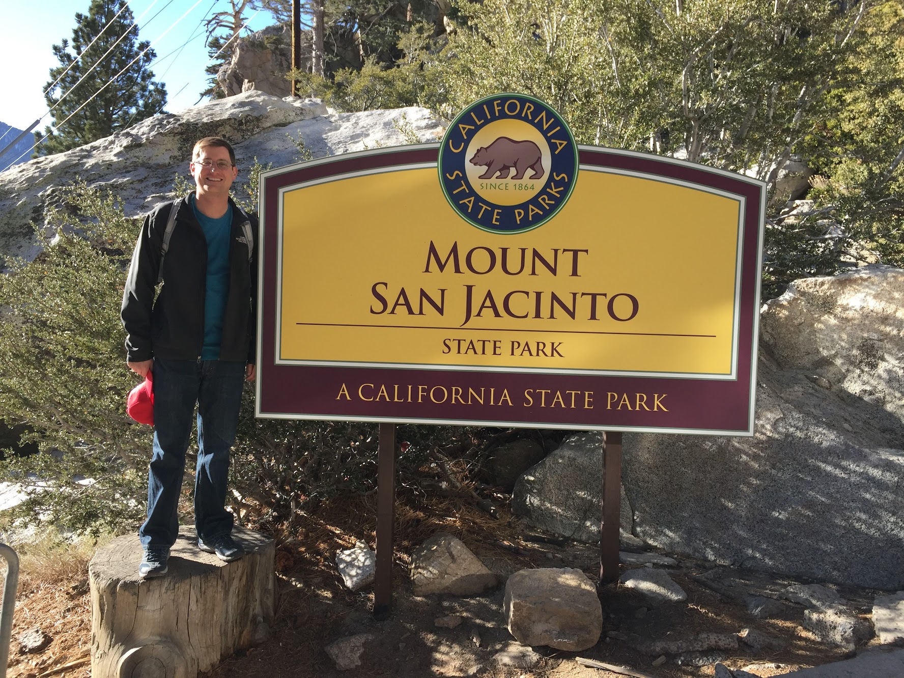
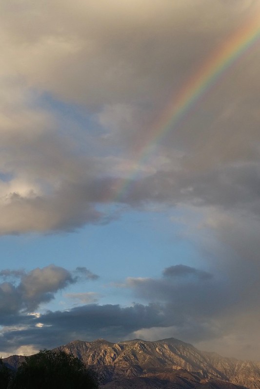
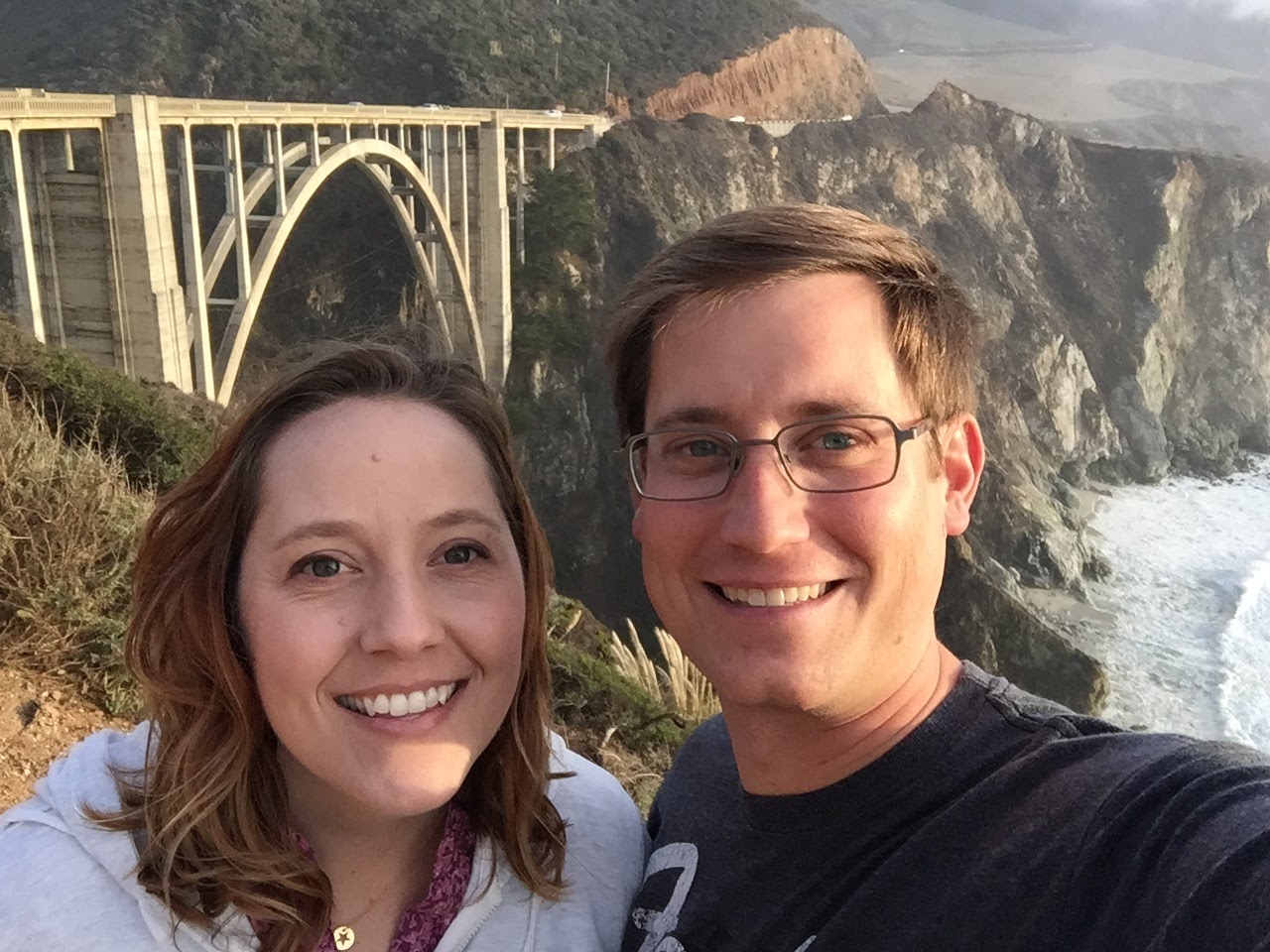
About 15 minutes south of Palm Springs is a beautiful place called Indian Canyons. Located on the tribal land of the Agua Caliente band of Cahuilla Indians are miles of trails through desert hills and lush canyon oases.

Indian Canyons

Check out this split rock you have to drive through to get to Palm Canyon!

Indian Canyons

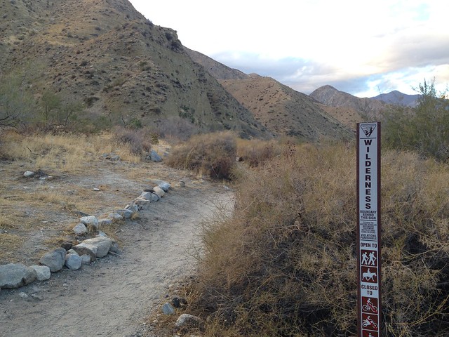
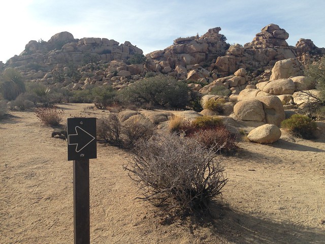
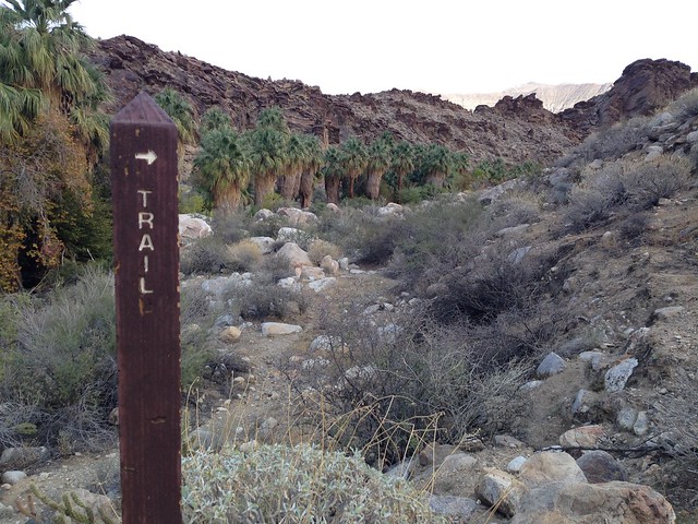
A tribal ranger recommended the Victor Trail in Palm Canyon, followed by the Canyon Loop Trail in Andreas Canyon.

Indian Canyons

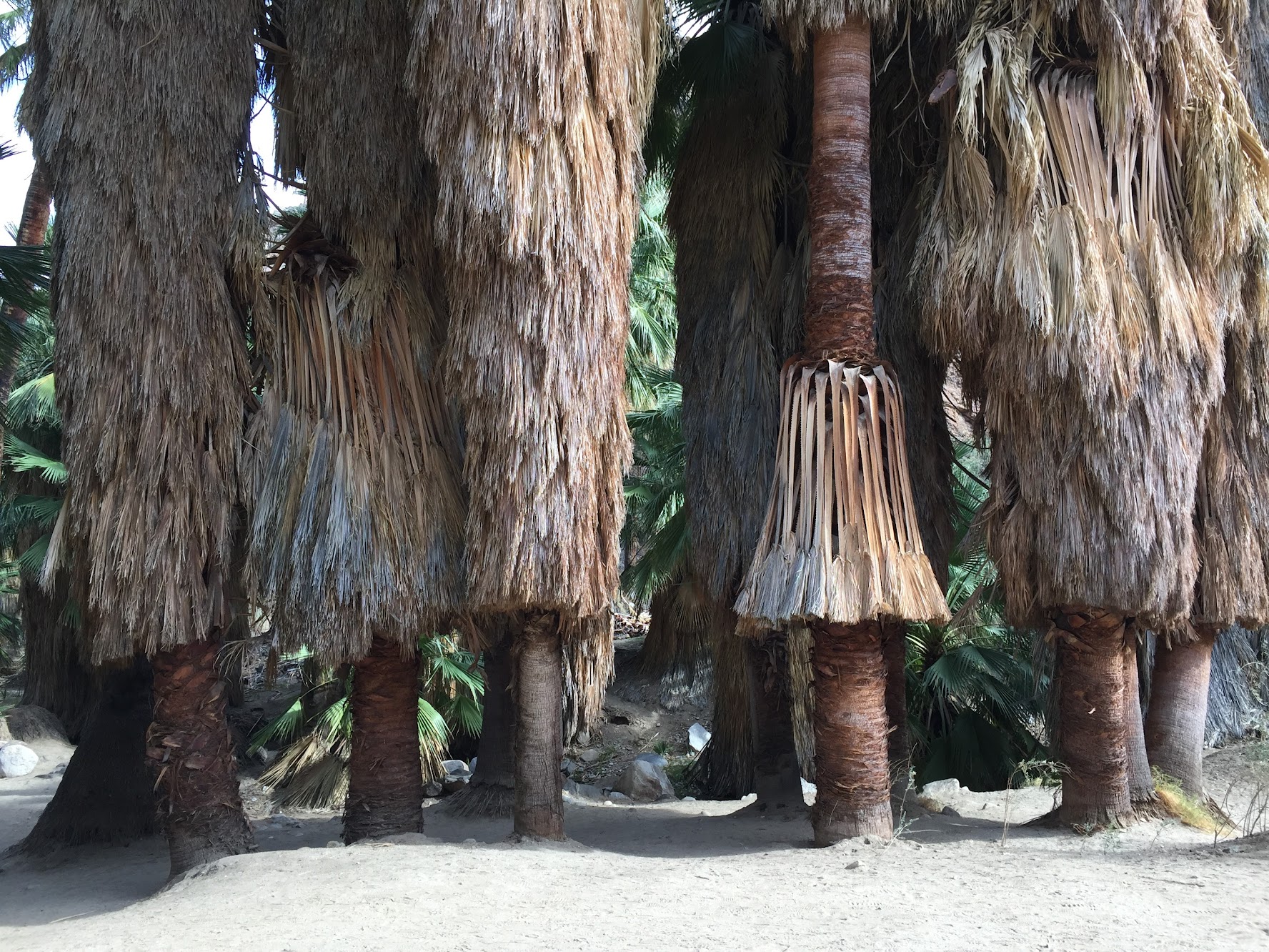
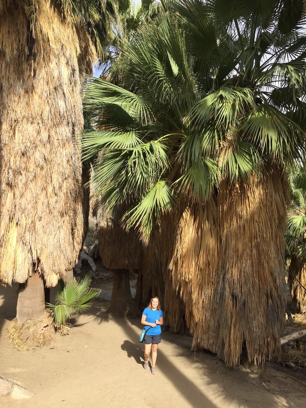
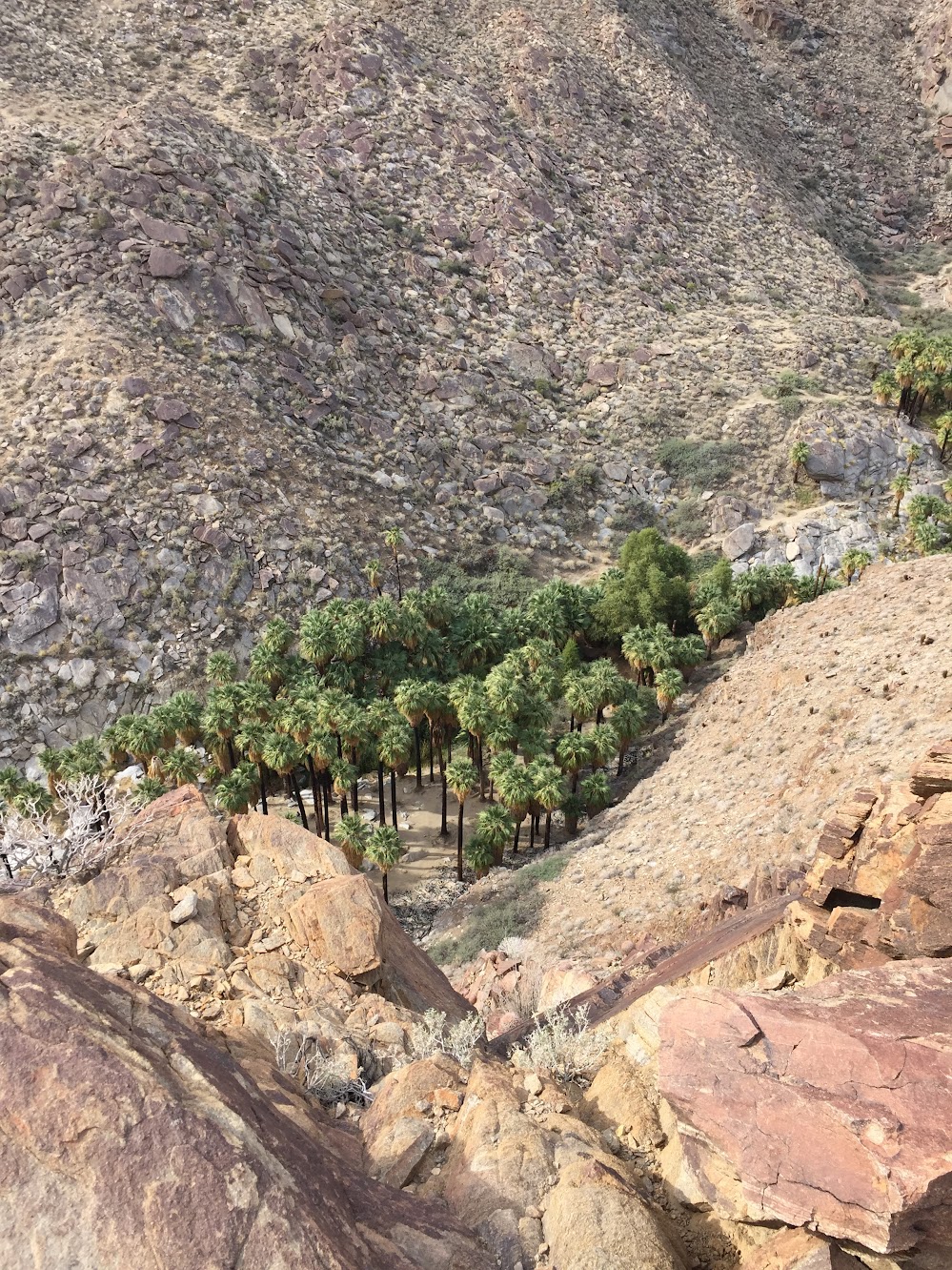
As we walked behind the trading post we were greeted with an amazing view of the canyon below — the world’s largest California Fan Palm oasis. Entering the oasis felt like we had been transported to a tropical island.

Palm Canyon

Indian Canyons

Indian Canyons

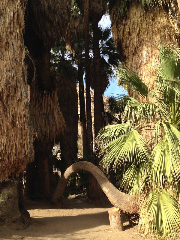
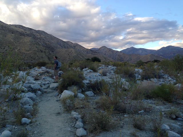
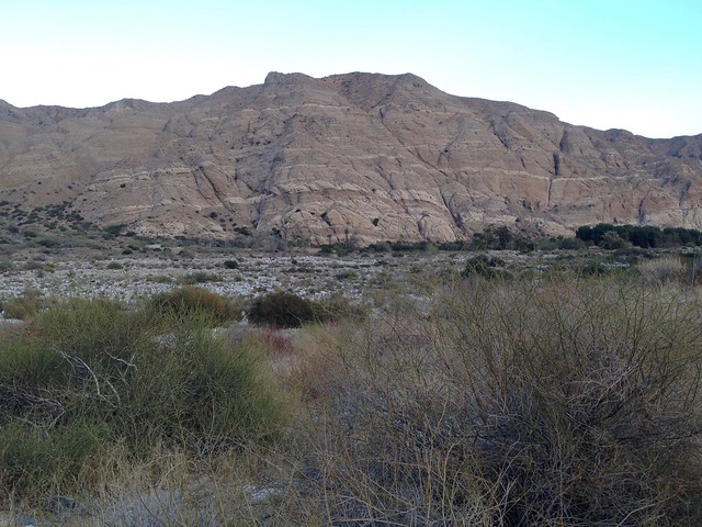
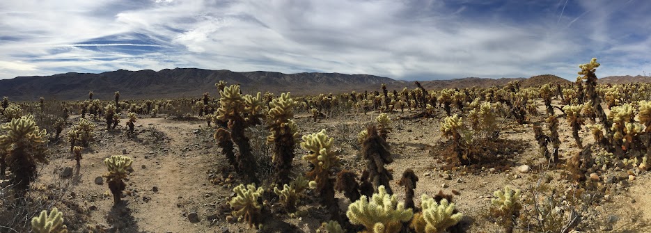
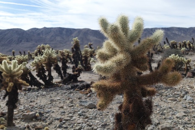
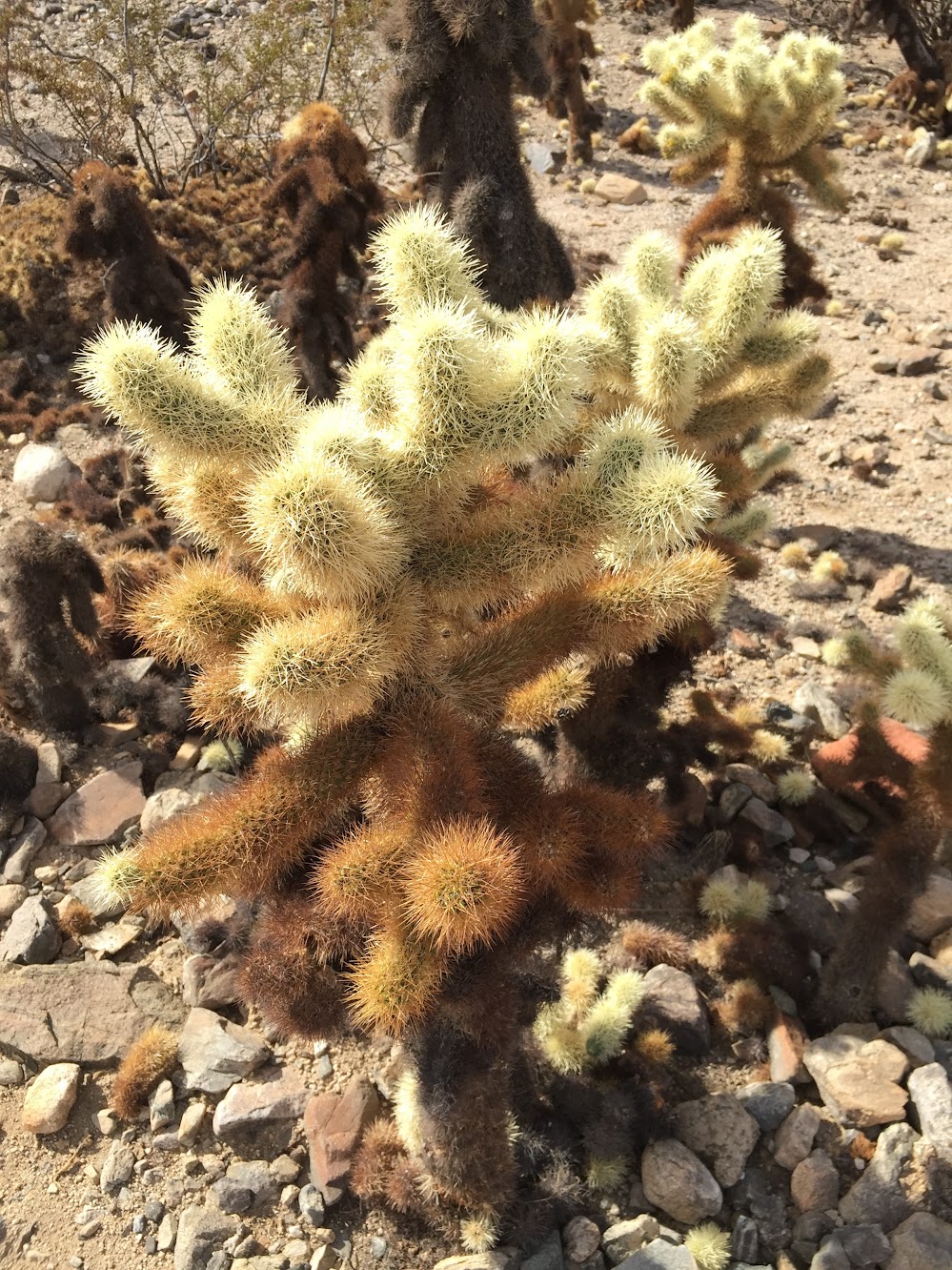
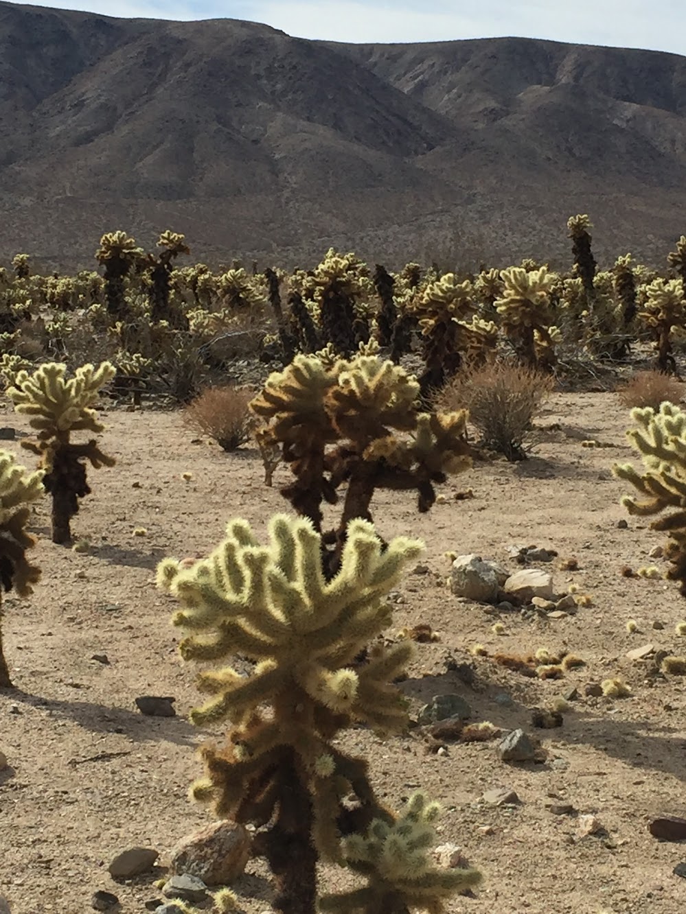
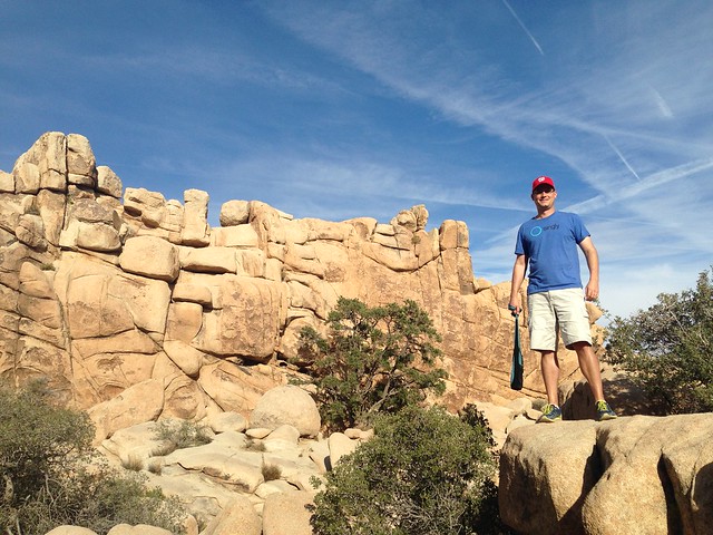
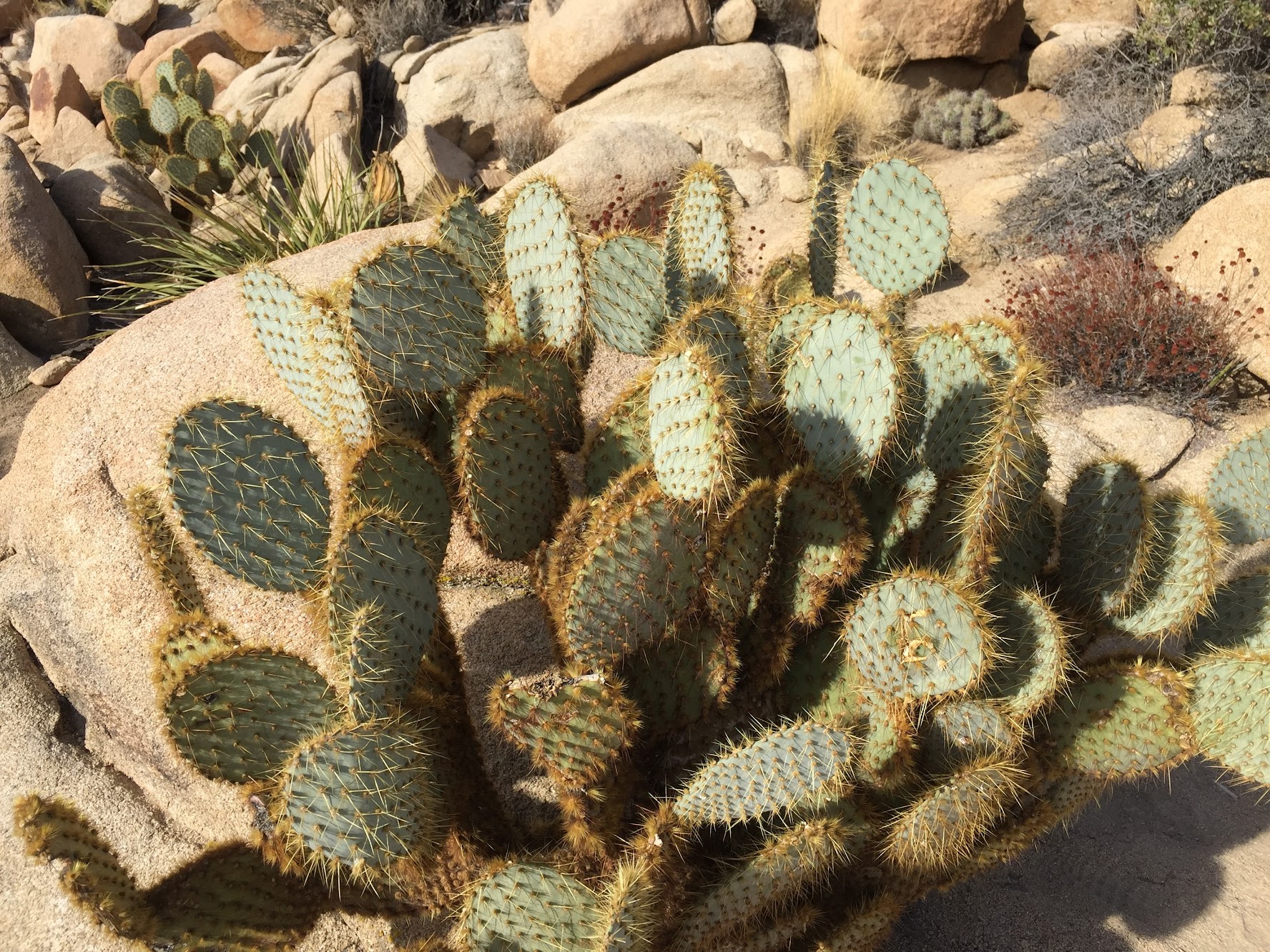
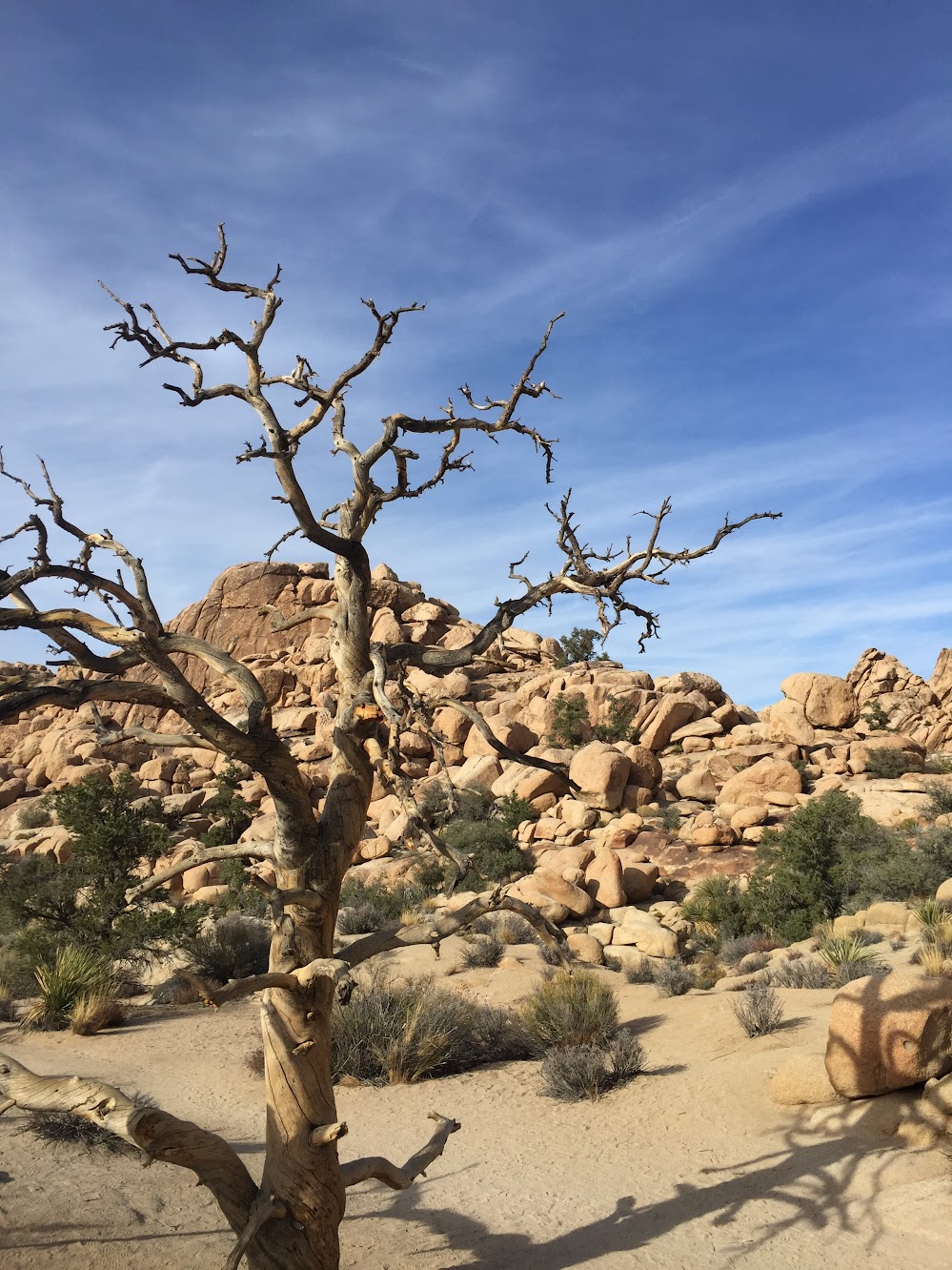
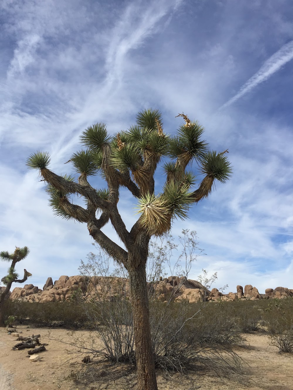
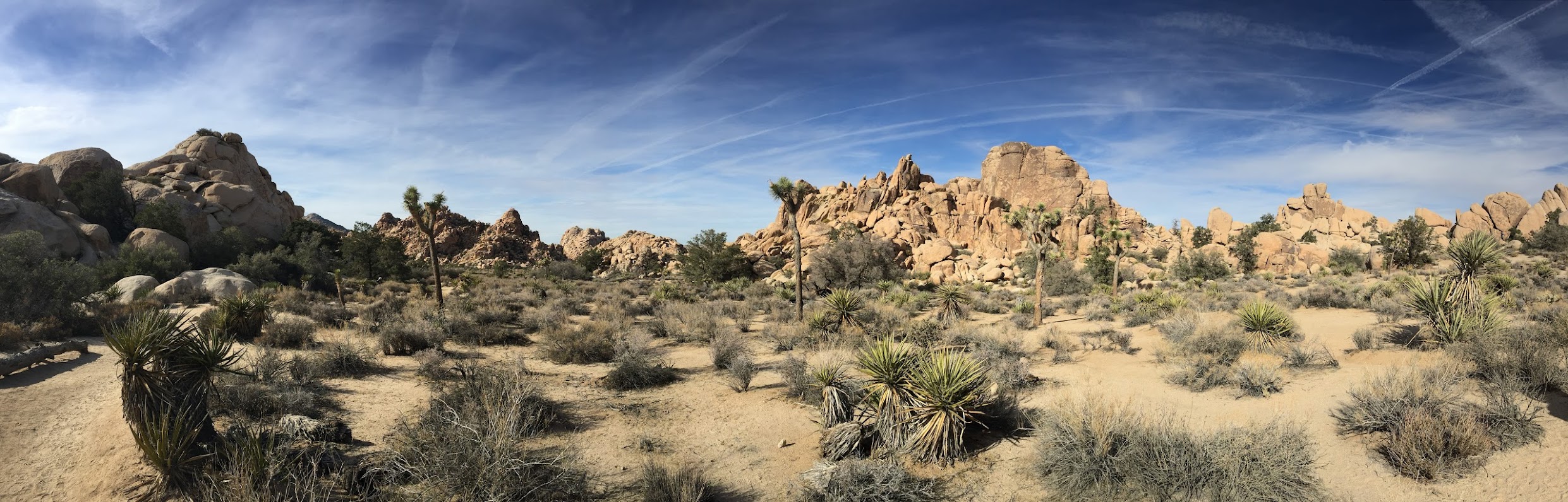
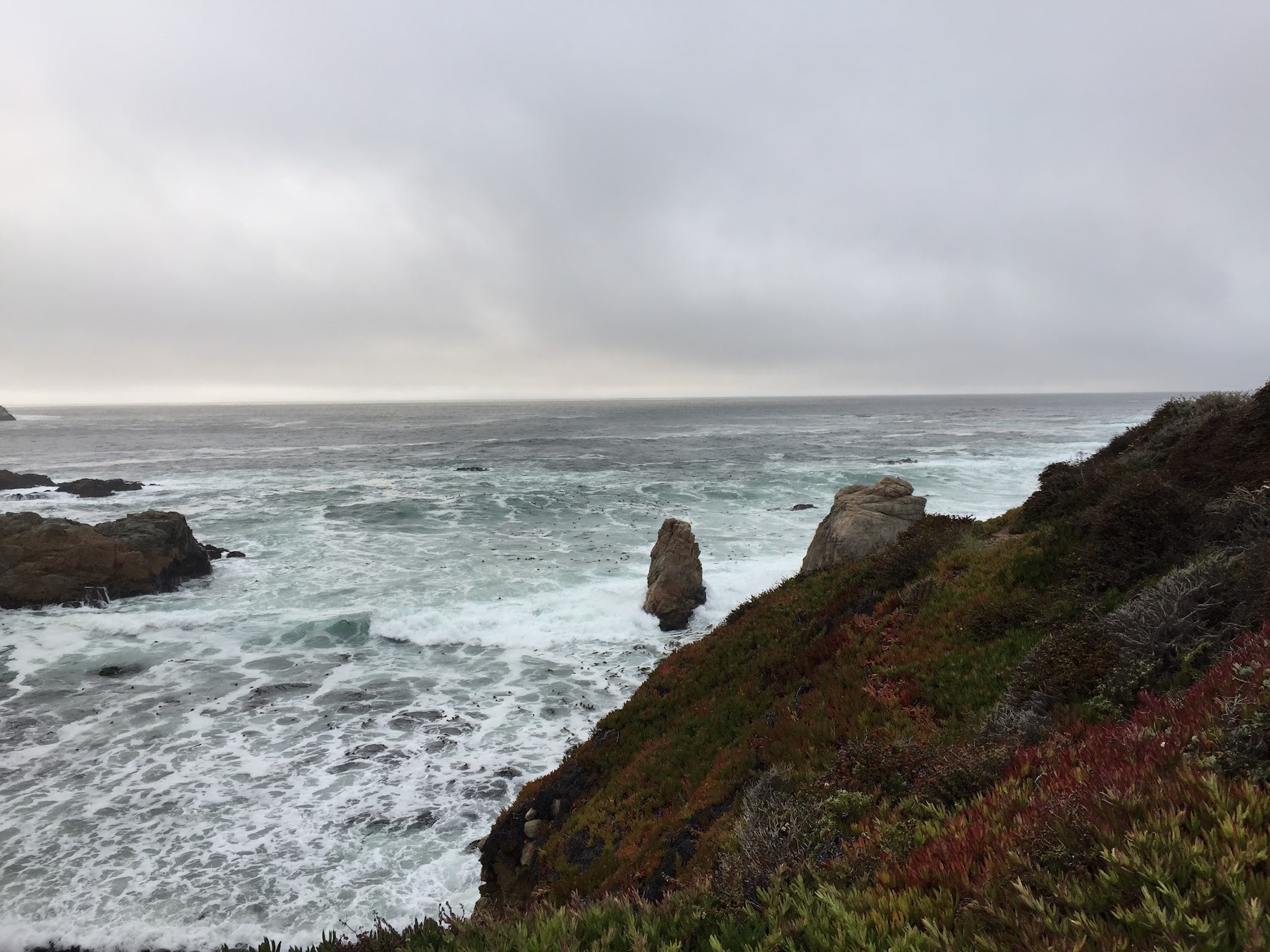
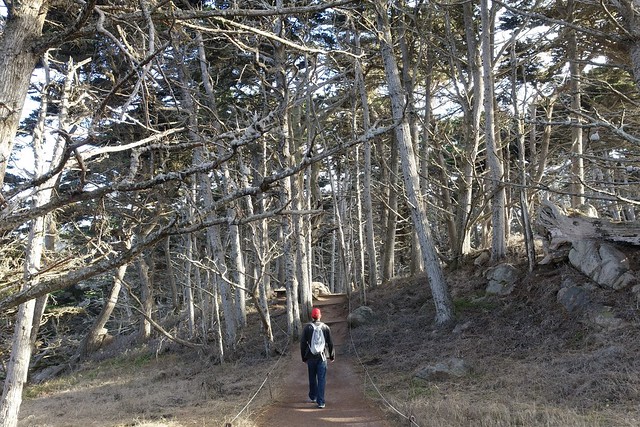
The towering palms provided a lot of shade as we walked through Palm Canyon. As soon as we turned onto the Victor Trail, we were back in the sun, looking out over the desert. Instead of palm trees and sand, we had barrel cactus and boulders.

Indian Canyons

Indian Canyons

Indian Canyons

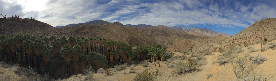
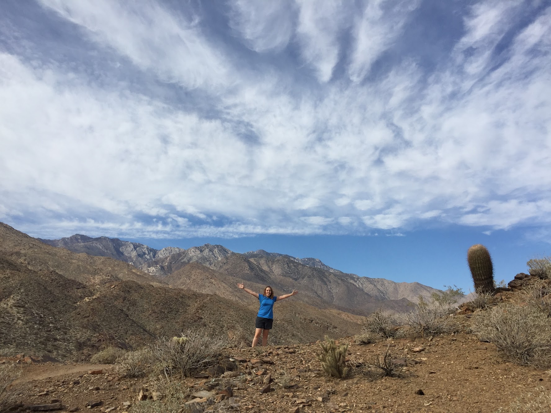
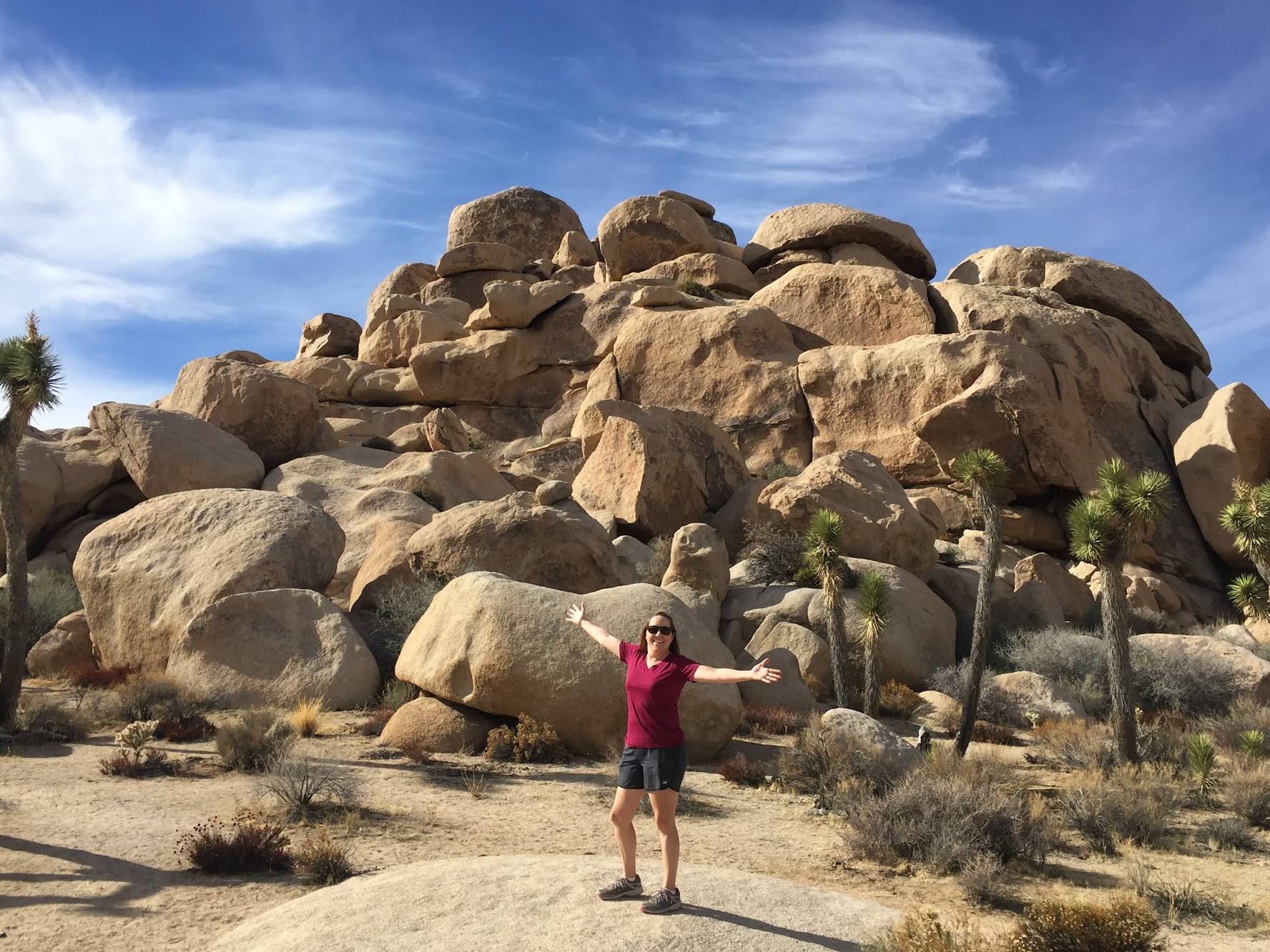
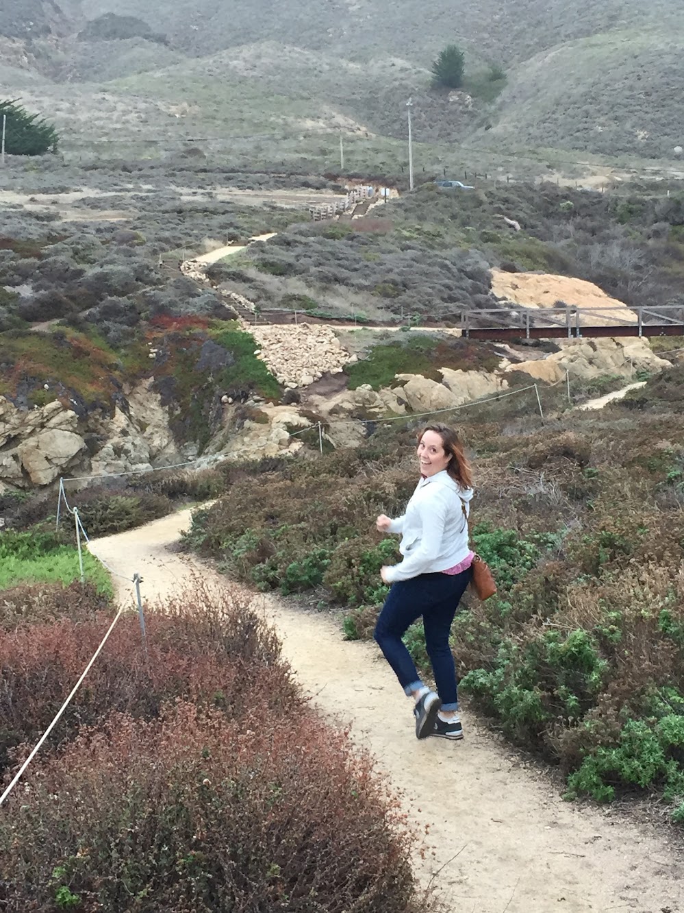
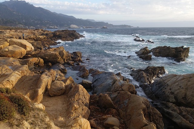
Those giant palm trees started looking pretty small as we climbed the hill.

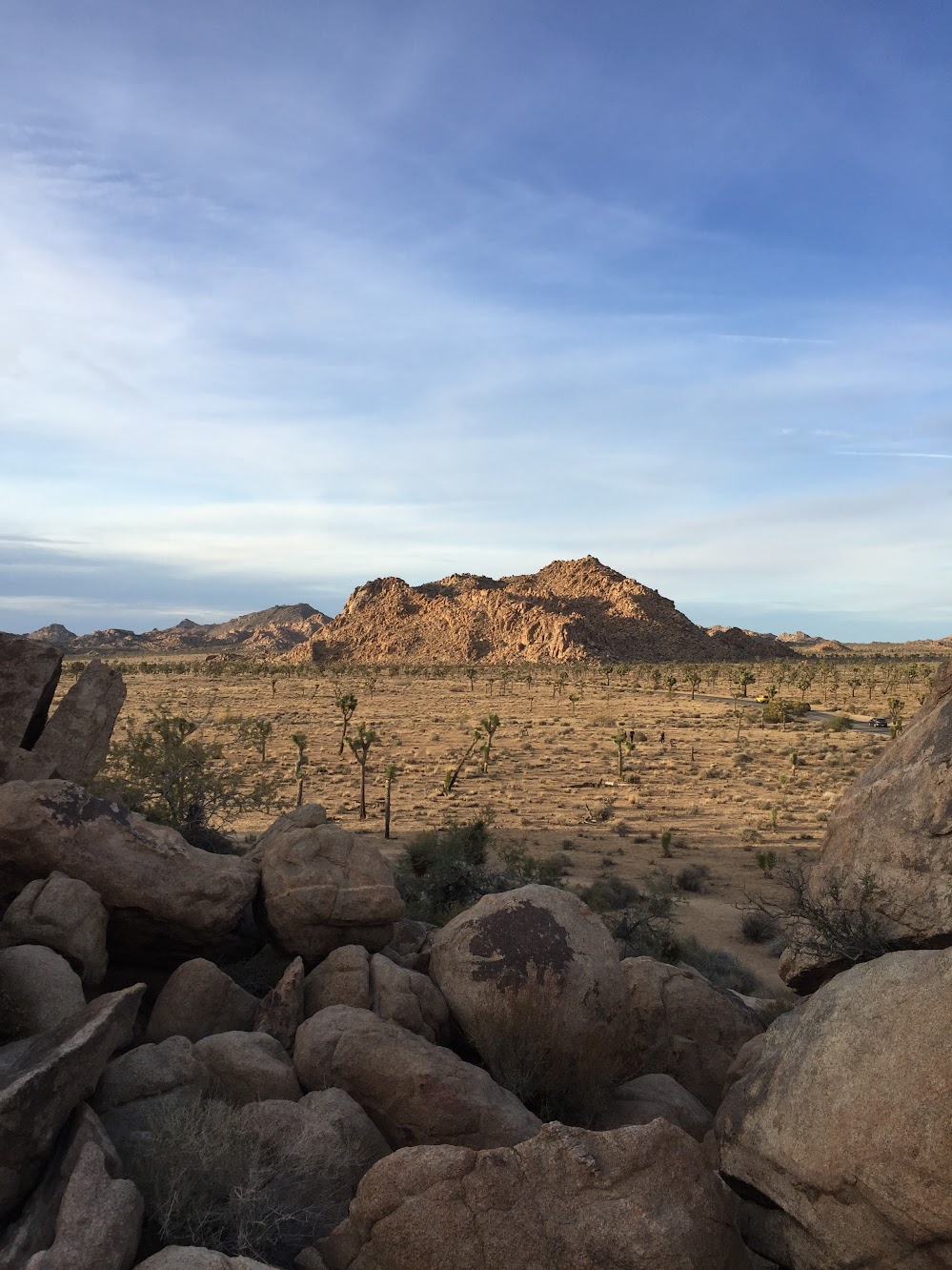
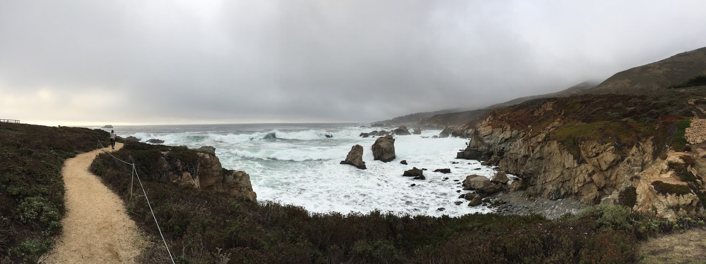
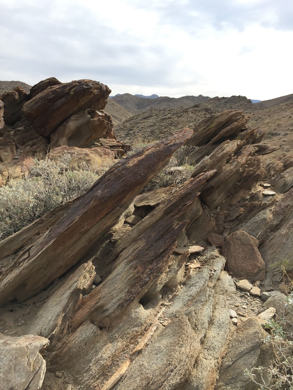
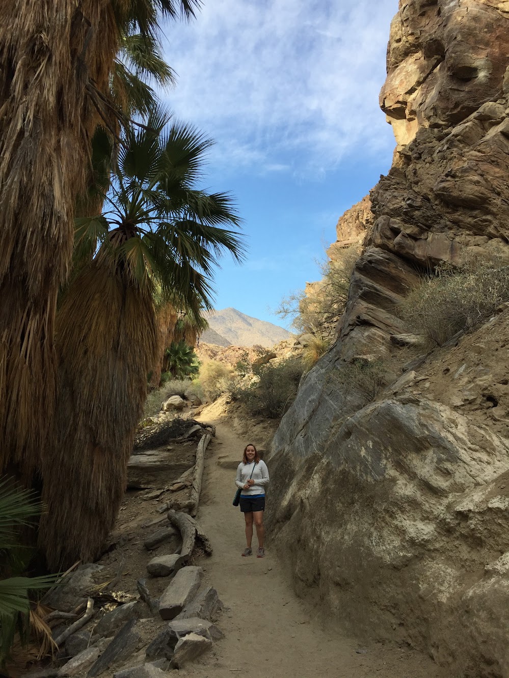
Over at Andreas Canyon, half of the Canyon Loop Trail took us along a ridge above the oasis, and the other half ran right along the face of the canyon wall. That was pretty cool. On one side of the trail was a small stream and huge palm trees, on the other was this towering wall of huge rocks.

Indian Canyons

Indian Canyons

Indian Canyons

Indian Canyons

You know the important things to bring hiking: water, sunblock, etc., but there are two extra things you should bring to Indian Canyons. First, a picnic! There are lots of picnic tables near the oases in Palm Canyon and Andreas Canyon. A really cool spot for lunch. Second, bring wipes to clean your legs at the end of the day! (And don’t forget to shake all the sand out of your shoes, too!)

Indian Canyons

Mt San Jacinto State Park

“It’s 30 degrees cooler AND we get to ride an aerial tram?!” Yup, heading up to Mt San Jacinto State Park for Thanksgiving was the obvious choice. A very steep ride took us up 8500ft in just 11 minutes.

Mt San Jacinto State Park

The tram car might look small in that photo, but it was actually quite spacious. And it rotates! It’s a very slow turn, so it’s not disorienting, and gives everyone a chance to see the views below. (Or straight ahead, if you’re short and stuck in the middle!)

The upper tram station has a couple of lookout balconies, a cafe, restaurant, and a gift shop. Just outside are a few short trails and the Mt San Jacinto State Park.

Mt San Jacinto State Park

We packed day bags for the Round Valley trail, but the park ranger said it was too icy and we should stick to the short trails near the tram station. “He fell twice,” she said, pointing to another ranger, “and he never falls.” Did I forget to mention—there was snow up there! I was glad we followed the ranger’s advice when we came across some slippery parts of the nature trails. The icy patches were only a few feet long here and there, but you know I was freaking out!

Mt San Jacinto State Park

The trails led us to big trees, big rocks, and big views…

Mt San Jacinto State Park

Mt San Jacinto State Park

…which led to big appetites! The tram station cafe served a traditional Thanksgiving feast, and it was delicious!

Thank you for following our adventures this year!

Save

Whitewater Preserve

We got up before 6am, ON A WEEKEND, to see hot air balloons launch from Cathedral City. What happened when we arrived? Cancelled! Only one balloon went up for tethered rides. But we were rewarded for getting up early with this vivid rainbow above the San Jacinto Mountains.

Rainbow above San Jacinto Mountains

In the afternoon we went hiking at Whitewater Preserve. The hills on either side blocked the sun, so it was shaded and cool. The ground near the small river was very soft grey sand, and there were smooth river rocks everywhere.

Whitewater Preserve

Whitewater Preserve

Whitewater Preserve

In other areas the trail passed over a small stream and through a small crop of very tall river reeds (only a few steps really, but that part freaked me out).

Whitewater Preserve

The Preserve is surrounded by the San Gorgonio Wilderness. For real, there is a sign that says you are entering the wilderness:

Whitewater Preserve

Although I suggested we might not be ready for actual wilderness, we kept on the path anyway and came upon the Pacific Crest Trail. We walked on that for a short bit before heading back.

Whitewater Preserve

Whitewater Preserve

Thankfully there were no rattlesnake or mountain lion sightings!

Palms to Pines Scenic Byway

This road is really fun. As the name suggests, you start out in the desert amid palm trees and wind your way through the San Bernardino National Forest, to discover small mountain villages surrounded by pine trees.

Palms to Pines Scenic Byway

We started in Palm Desert and stopped in Idyllwild before completing the loop back to the valley. The first part of this drive switchbacks up the desert hills. The road is often narrow and it feels like you’re in a little rock canyon.

Palms to Pines Scenic Byway

We passed dozens of beautiful Porsche 356’s driving the opposite way. Where were they all coming from?!

Porsche 356

There are some scenic vista pull-outs along the drive, some with short nature trails. It’s amazing how high you climb in a short time. Can you see that looping road we drove up?

Palms to Pines Scenic Byway

Palms to Pines Scenic Byway

And then, ta-da! You’re in the forest! Idyllwild is a cute little village with a handful of shops and restaurants. We learned at the history center — a small log cabin — that the area is popular for rock climbing. The docent also told us that Ashton Kutcher and Mila Kunis were there a couple of weeks ago, among other tidbits about pioneer life and Elvis Presley movies.

Palms to Pines Scenic Byway

Palms to Pines Scenic Byway

On the drive back, we caught this amazing sunset! (We also got stuck in a traffic jam so bad that people turned off their cars and walked around to find out what was happening. But a nice view of the city lights below and a bag of kettle corn made the time pass quickly.)

Palms to Pines Scenic Byway

Save

Palm Springs Architecture

The Architectural Icons Walking Tour began with a stop at this large stone mural to hear about the history of Palm Springs.

We then visited a few iconic buildings in downtown, and the tour ended at the Architecture and Design Center. Our small tour group was friendly, our guide was knowledgeable, and we learned quite a bit about local design history.

Palm Springs architecture

Palm Springs architecture

We’ve also been walking around the neighborhoods quite a bit looking at the cool houses. (Ok, Kenan is walking for exercise, I am the one looking for the Desert Modern houses!)

Palm Springs

Palm Springs Desert Modern houses

Palm Springs Desert Modern houses

Palm Springs Desert Modern houses

Palm Springs Desert Modern houses

Palm Springs Desert Modern houses

Did you notice that none of these homes has a front lawn full of grass? Most front “lawns” around here are actually full of gravel, with lots of palm trees and cactus plants adding the greenery.

Joshua Tree National Park

Welcome to Cool Trees and Rocks: Desert Edition! Our day at Joshua Tree National Park was spent on the Mojave Desert side of the park. We entered the park at the Oasis Visitor Center, drove down to the Cholla Cactus Garden, then back up to Keys View and Hidden Valley.

Cholla Cactus Garden, Joshua Tree National Park

In addition to long day hikes and backpacking trails, Joshua Tree has several nature trails. These were easy walks and were a nice way to experience different areas of the park. The picnic areas and campground pull-offs were also great spots to stop and view scenery (and watch rock climbers).

Joshua Tree National Park

Joshua Tree National Park

Joshua Tree National Park

Joshua Tree National Park

Have you guys been watching Westworld? This way to the maze!

Of course we saw the famous Joshua trees, too…

Joshua Tree National Park

Joshua Tree National Park

At an elevation of 5,185 feet, Keys View is a great spot to look out over Coachella Valley — including the San Andreas Fault, which was right below us!

Joshua Tree National Park

Joshua Tree National Park

Save

Save

Save

Save

Save

Save

Highway 1 and Big Sur

Also known as the Pacific Coast Highway, Highway 1 winds down the California coast from Monterey/Carmel to San Simeon. We drove about halfway down to see the Big Sur area.

Highway 1 Big Sur

It’s a fun road, with steep hills on one side, and cliffs falling to the ocean on the other.

Highway 1, Big Sur, California

Highway 1, Big Sur, California

There are plenty of pull-outs along the road to take in the views. Bixby Bridge is a popular stop.

Bixby Bridge, Big Sur

At Julia Pfeiffer Burns State Park, there’s a short walk from the parking area to a pretty amazing 80ft tidefall, McWay Falls. (What’s a tidefall? It’s a waterfall that ends at the sea!)

Wait for it…

McWay Falls, Big Sur California

…ta-da!!!

McWay Falls, Big Sur California

Even though the beach is off limits, a few surfers swam up through the cove while we were there.

Surfers at McWay Falls, Big Sur

Surfers at McWay Falls, Big Sur

Our last stop of the day was Garrapata State Park. Just off Highway 1 is a beautiful trail that hugs the coastline. It was a bit windy, but a great place to catch the (very cloudy) sunset.

Garrapata State Park, Big Sur

Save

Save

Save

Save

Save

Point Lobos State Natural Reserve

Our Airbnb host recommended Point Lobos, and it did not disappoint. We really enjoyed a late afternoon walk along the coastal trails.

Point Lobos State Natural Reserve

Point Lobos State Natural Reserve

There were lots of cool coves and inlets along the path. High tide came in while we were walking, and caused some big surges against the cliffs. If my catchphrase in Wyoming was “hey bear!”, here it’s “never turn your back on the ocean!”

Point Lobos State Natural Reserve

Point Lobos State Natural Reserve

China Cove and some other areas were closed to protect the sea lions and harbor seals.

The Cypress Grove has neat trees that are all gnarly and twisted. We saw a group of deer right next to the trail!

Point Lobos State Natural Reserve

Point Lobos State Natural Reserve

We ended the day with a trail that led to Bird Rock and watched pelicans fly across the sunset. If you are in the Monterey area, definitely take a trip to Point Lobos!

Save

Save

Save