A long weekend in Savannah

By now you may have caught on that I love big trees. Perhaps I was heavily influenced by hugging trees at Girl Scout camp when I was little? In any case, the trees in Savannah did not disappoint! They are tall with wide canopies, winding branches, and dripping with Spanish moss, and there are hundreds of them.

We did not walk through all 22 squares, but we saw a few on foot and a bunch more on the trolley ride. River Street was a fun place to stop for a drink and browse the outdoor market. And speaking of the Girl Scouts, we went on a tour of the Juliette Gordon Low Birthplace Museum, a must-see for any former scout!

Back to trees. Wormsloe State Historic Site is maybe 20 minutes from downtown, and totally worth the trip. There were some nice walking trails, but the drive into the park was the best. Just look at these live oaks!

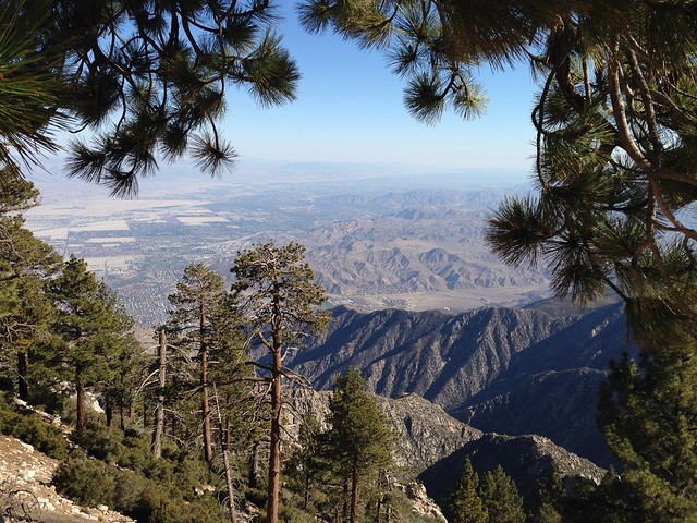
Mt San Jacinto State Park

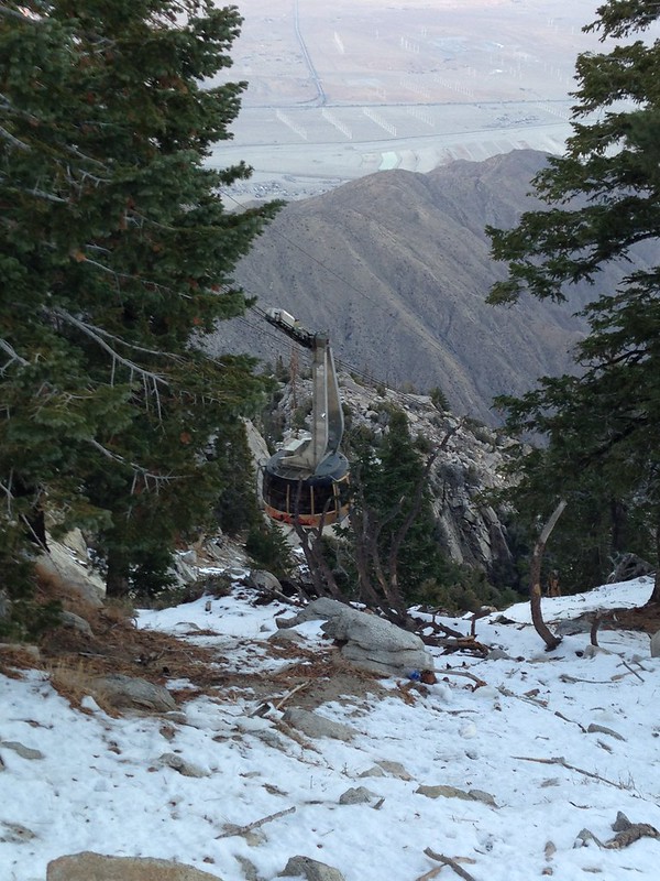
“It’s 30 degrees cooler AND we get to ride an aerial tram?!” Yup, heading up to Mt San Jacinto State Park for Thanksgiving was the obvious choice. A very steep ride took us up 8500ft in just 11 minutes.

Mt San Jacinto State Park

The tram car might look small in that photo, but it was actually quite spacious. And it rotates! It’s a very slow turn, so it’s not disorienting, and gives everyone a chance to see the views below. (Or straight ahead, if you’re short and stuck in the middle!)

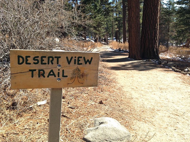
The upper tram station has a couple of lookout balconies, a cafe, restaurant, and a gift shop. Just outside are a few short trails and the Mt San Jacinto State Park.

Mt San Jacinto State Park

We packed day bags for the Round Valley trail, but the park ranger said it was too icy and we should stick to the short trails near the tram station. “He fell twice,” she said, pointing to another ranger, “and he never falls.” Did I forget to mention—there was snow up there! I was glad we followed the ranger’s advice when we came across some slippery parts of the nature trails. The icy patches were only a few feet long here and there, but you know I was freaking out!

Mt San Jacinto State Park

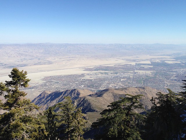
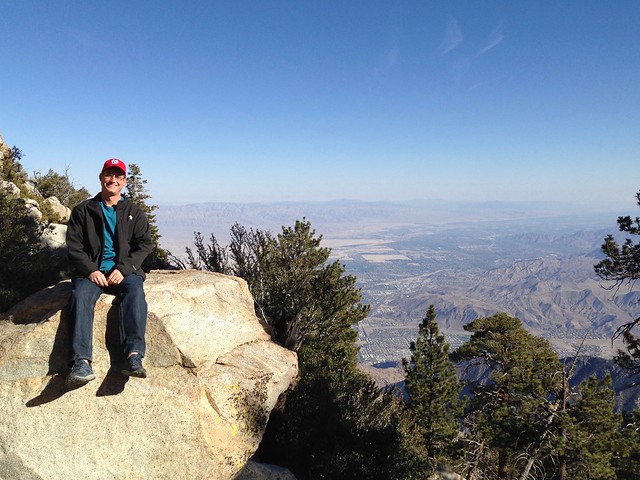
The trails led us to big trees, big rocks, and big views…

Mt San Jacinto State Park

Mt San Jacinto State Park

…which led to big appetites! The tram station cafe served a traditional Thanksgiving feast, and it was delicious!

Thank you for following our adventures this year!

Save

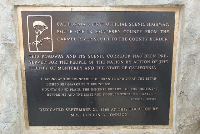
Highway 1 and Big Sur

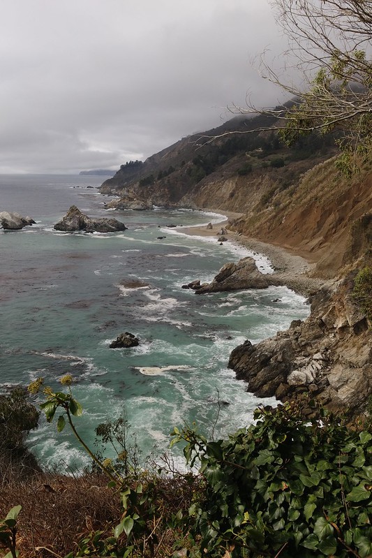
Also known as the Pacific Coast Highway, Highway 1 winds down the California coast from Monterey/Carmel to San Simeon. We drove about halfway down to see the Big Sur area.

Highway 1 Big Sur

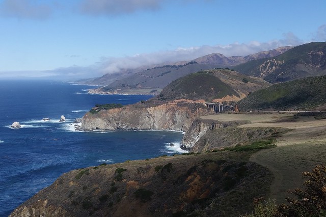
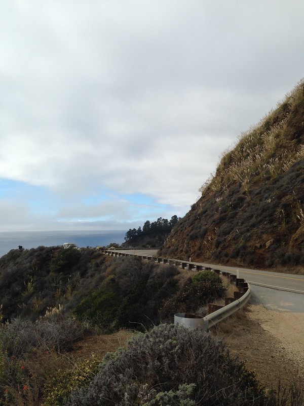
It’s a fun road, with steep hills on one side, and cliffs falling to the ocean on the other.

Highway 1, Big Sur, California

Highway 1, Big Sur, California

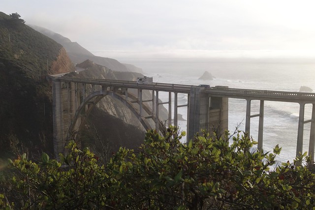
There are plenty of pull-outs along the road to take in the views. Bixby Bridge is a popular stop.

Bixby Bridge, Big Sur

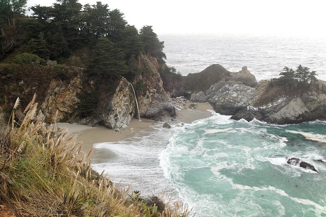
At Julia Pfeiffer Burns State Park, there’s a short walk from the parking area to a pretty amazing 80ft tidefall, McWay Falls. (What’s a tidefall? It’s a waterfall that ends at the sea!)

Wait for it…

McWay Falls, Big Sur California

…ta-da!!!

McWay Falls, Big Sur California

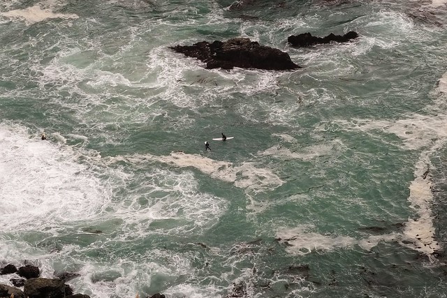
Even though the beach is off limits, a few surfers swam up through the cove while we were there.

Surfers at McWay Falls, Big Sur

Surfers at McWay Falls, Big Sur

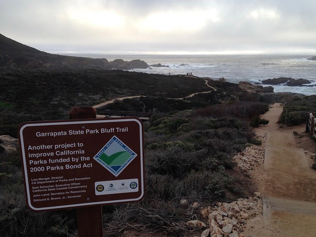
Our last stop of the day was Garrapata State Park. Just off Highway 1 is a beautiful trail that hugs the coastline. It was a bit windy, but a great place to catch the (very cloudy) sunset.

Garrapata State Park, Big Sur

Save

Save

Save

Save

Save

Point Lobos State Natural Reserve

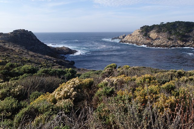
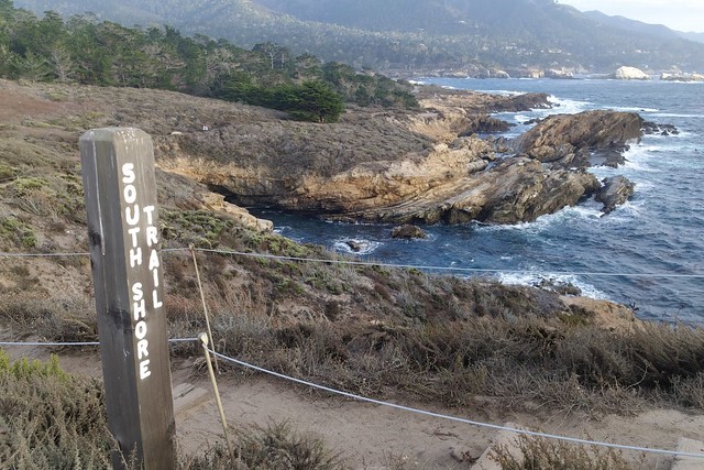
Our Airbnb host recommended Point Lobos, and it did not disappoint. We really enjoyed a late afternoon walk along the coastal trails.

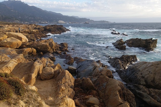
Point Lobos State Natural Reserve

Point Lobos State Natural Reserve

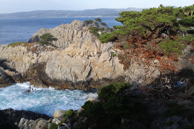
There were lots of cool coves and inlets along the path. High tide came in while we were walking, and caused some big surges against the cliffs. If my catchphrase in Wyoming was “hey bear!”, here it’s “never turn your back on the ocean!”

Point Lobos State Natural Reserve

Point Lobos State Natural Reserve

China Cove and some other areas were closed to protect the sea lions and harbor seals.

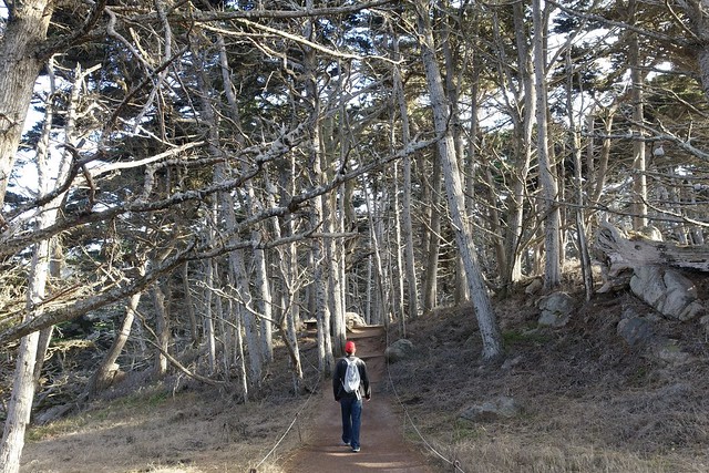
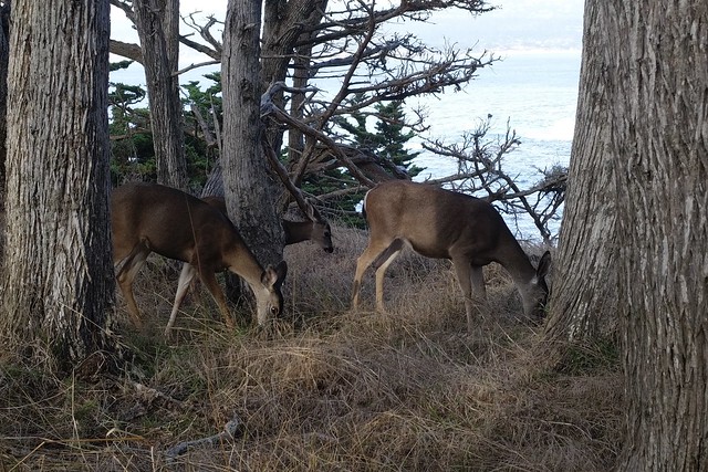
The Cypress Grove has neat trees that are all gnarly and twisted. We saw a group of deer right next to the trail!

Point Lobos State Natural Reserve

Point Lobos State Natural Reserve

We ended the day with a trail that led to Bird Rock and watched pelicans fly across the sunset. If you are in the Monterey area, definitely take a trip to Point Lobos!

Save

Save

Save

Antelope Island State Park

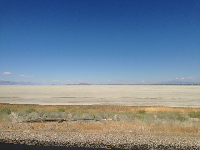
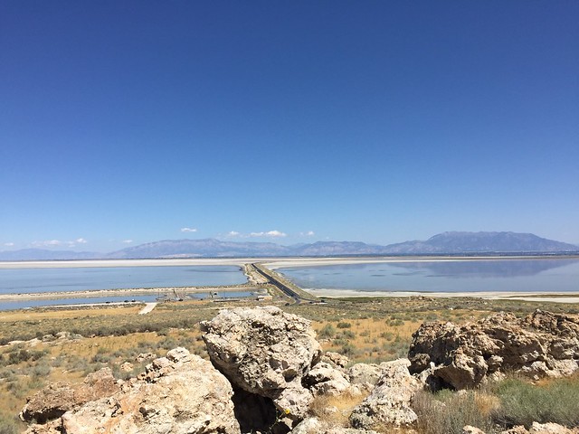
The only way to reach Antelope Island by car is by driving across seven miles of a two-lane causeway. On either side is a smelly bay, with fields of salt close to the road.
Antelope Island State Park

Antelope Island State Park

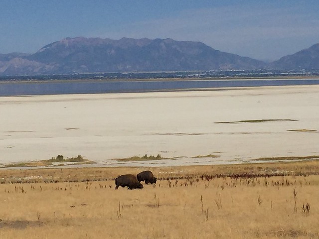
Now that you’ve reached the island, you can roll down the windows and enjoy the breeze. Keep an eye out for bison as you drive up to the visitor center.
Antelope Island State Park

Antelope Island State Park

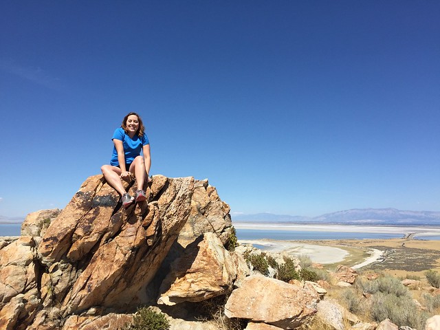
When the friendly park ranger recommends a couple of easy hikes, keep in mind that her definition of “easy” may not be the same as yours. Go on the hikes anyway! Start with the Buffalo Point Trail, which is short but also quite steep.

Antelope Island State Park

Antelope Island State Park

Buffalo Point Trail, Antelope Island State Park

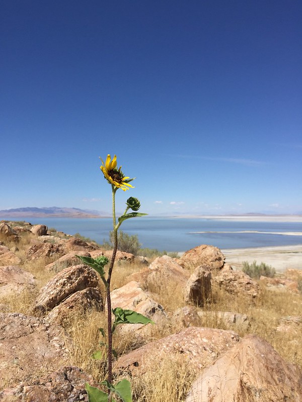
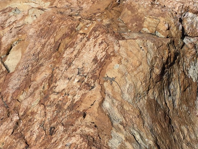
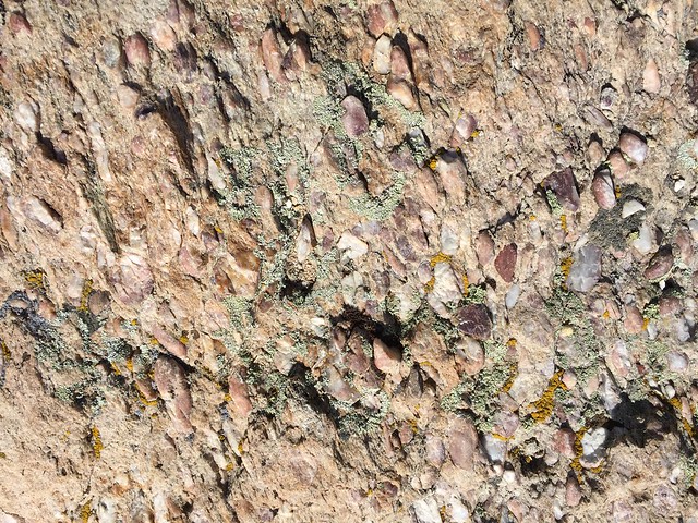
On your walk you will see some very cool rocks, a few wildflowers, and lots of tiny lizards. The lizards will scamper out of your way so quickly that you don’t even have a chance to be scared of them.
Antelope Island State Park

Antelope Island State Park

Antelope Island State Park

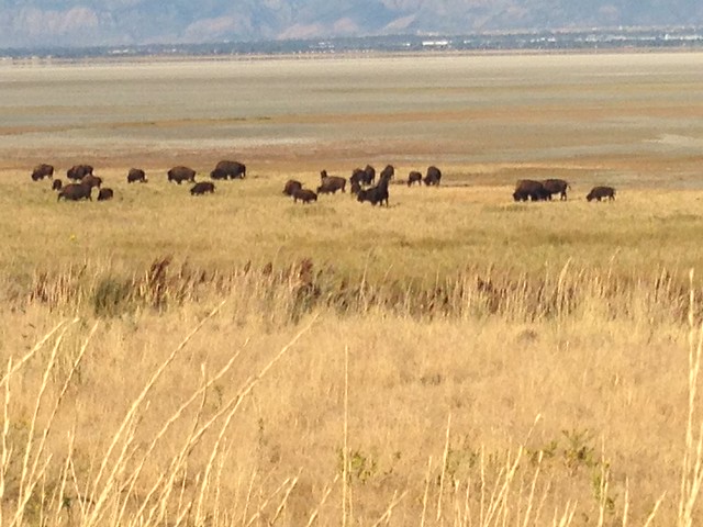
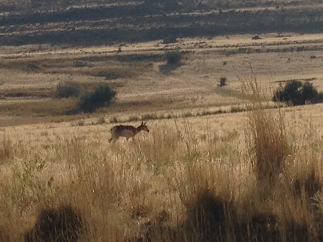
Now you can rest for a bit as you drive to the other side of the island. Watch the fields for bison and antelope. You may even see more bison here than at Custer!
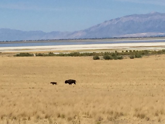
Antelope Island State Park

Antelope Island State Park

It’s time to start the Frary Peak Trail that takes you to Dooley Knob. Carry water and snacks. Ignore the fact that the entire trail is uphill.

Frary Peak & Dooley Knob Trail, Antelope Island State Park

Frary Peak & Dooley Knob Trail, Antelope Island State Park

You can’t ignore that the entire trail is uphill. Stop often to catch your breath, er, look out over the wondrous landscape.
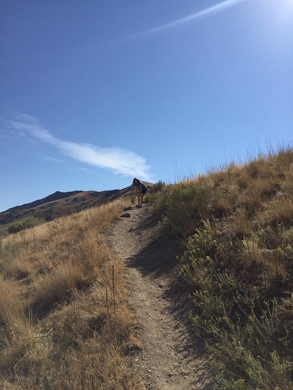
Antelope Island State Park

You made it to the top! Oh, wait, nope. You’ve made it to the beginning of the Dooley Knob Spur. Onward!
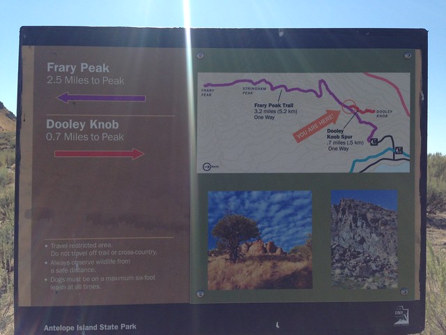
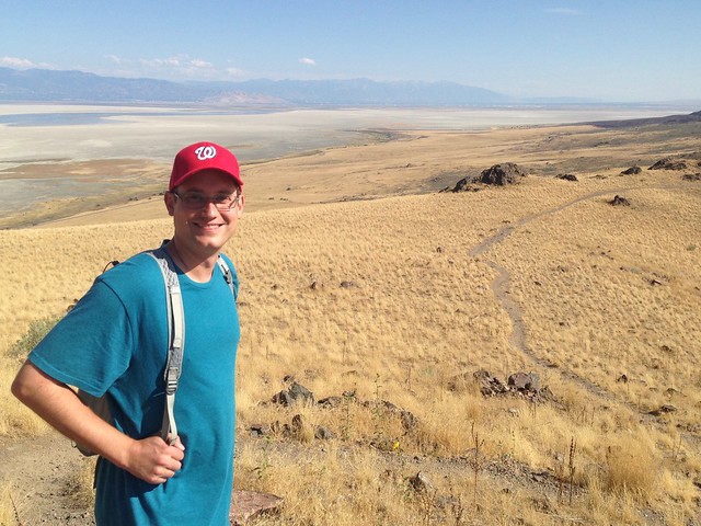
Frary Peak & Dooley Knob Trail, Antelope Island State Park

Frary Peak & Dooley Knob Trail, Antelope Island State Park

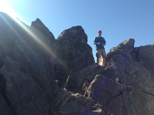
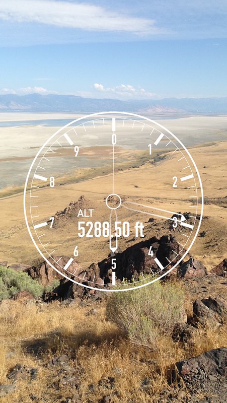
Now you’ve made it to the top! Hooray! You’re at 5200 feet! See how tiny your car looks from up here. Even Salt Lake City looks small in the distance.
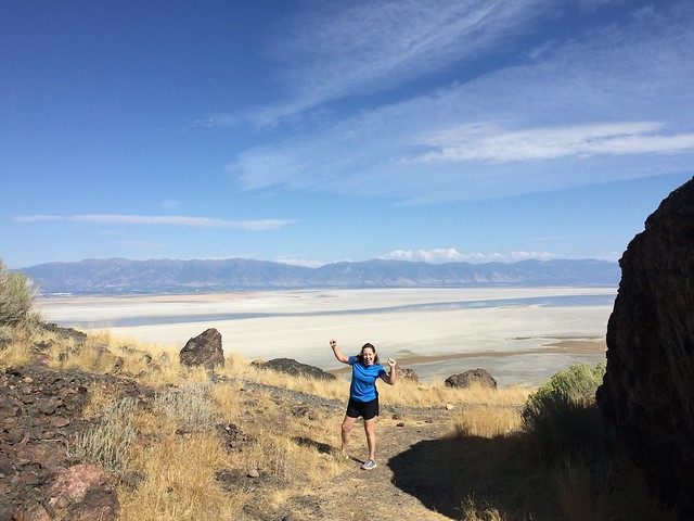
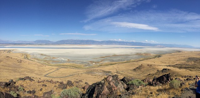
Antelope Island State Park

Antelope Island State Park

Frary Peak & Dooley Knob Trail, Antelope Island State Park

Frary Peak & Dooley Knob Trail, Antelope Island State Park

Head back downhill to explore more of the island. Give yourself a high five for being outdoorsy!
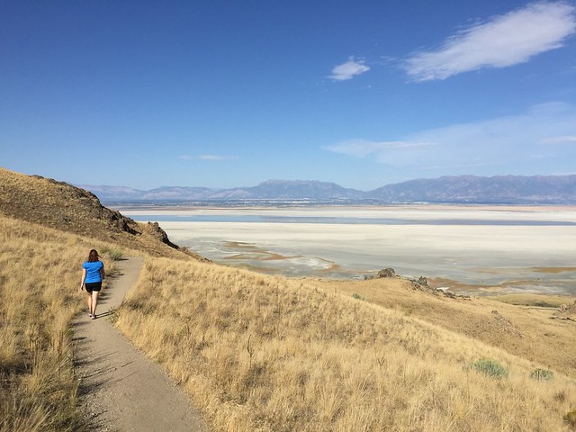
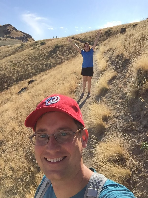
Antelope Island State Park

Antelope Island State Park

Drive down the east side of the island for more bison and pronghorn spotting.

Antelope Island State Park

Antelope Island State Park

Antelope Island State Park

Turn around at the horse barns and head back towards the causeway. Watch out for bison crossing the road!

Antelope Island State Park

End your visit to the island by spotting a small group of mule deer on the hillside.
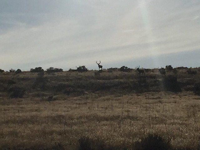
Antelope Island State Park


Save

Save

Save

Save

Save
Lucky Peak State Park

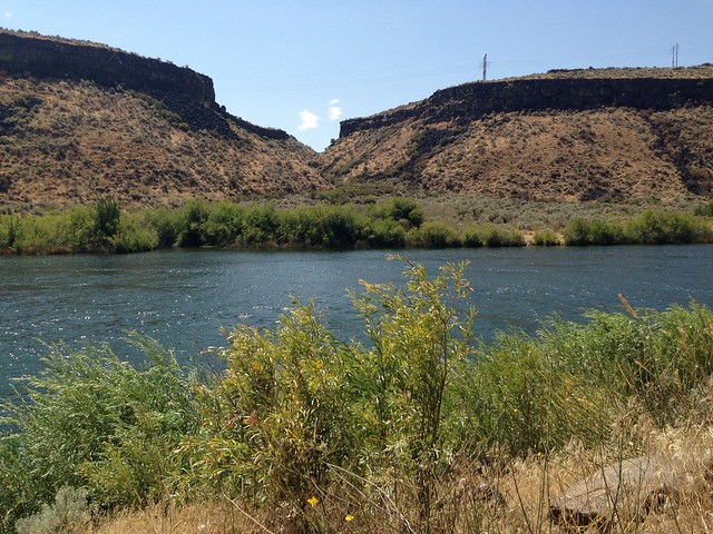
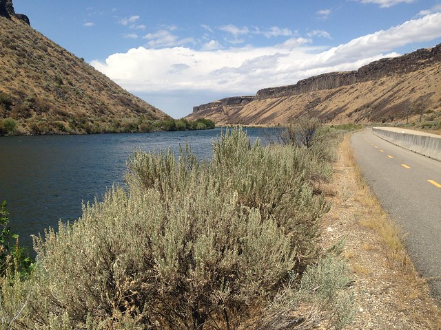
I don’t know which peak is lucky, or why. In fact, we didn’t even walk up any hills here. We did walk on a nice trail through a wide canyon, along the Boise River. I’m pretty sure we saw a couple of hawks flying around. (Amanda, I’m getting better at birds after visiting the World Center for Birds of Prey!)

Lucky Peak State Park

Lucky Peak State Park

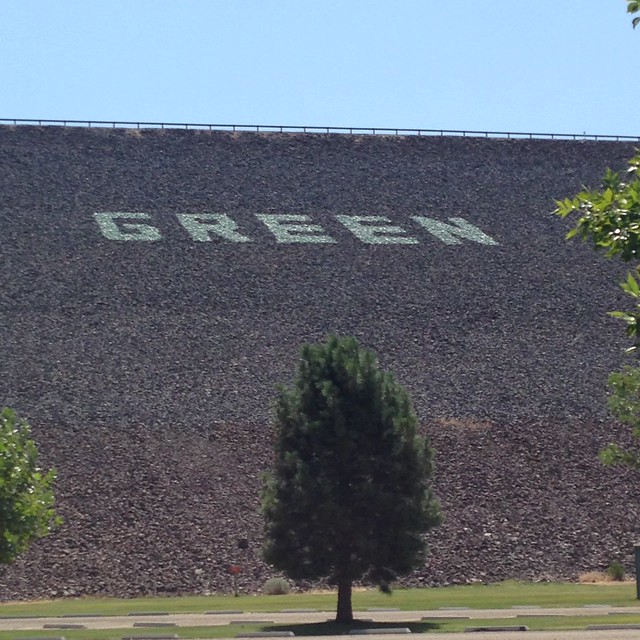
The sign across the dam wall reads “Keep your forests green.”

Lucky Peak State Park

We were looking forward to a swim at the Sandy Point beach after our walk, but holy cannoli, that water was cold!

Lucky Peak State Park


Save

Save

Save
Bruneau Dunes

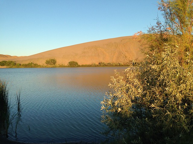
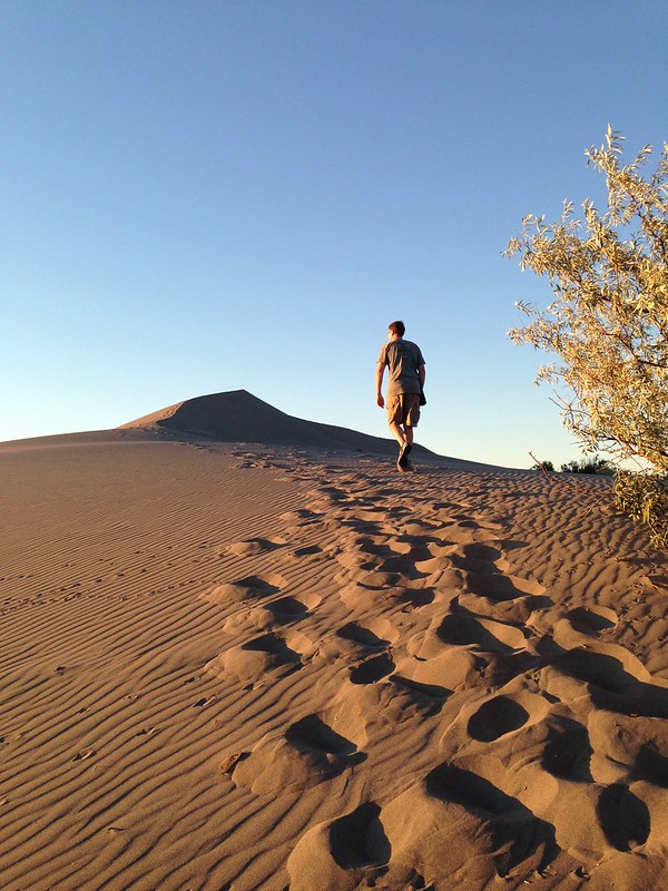
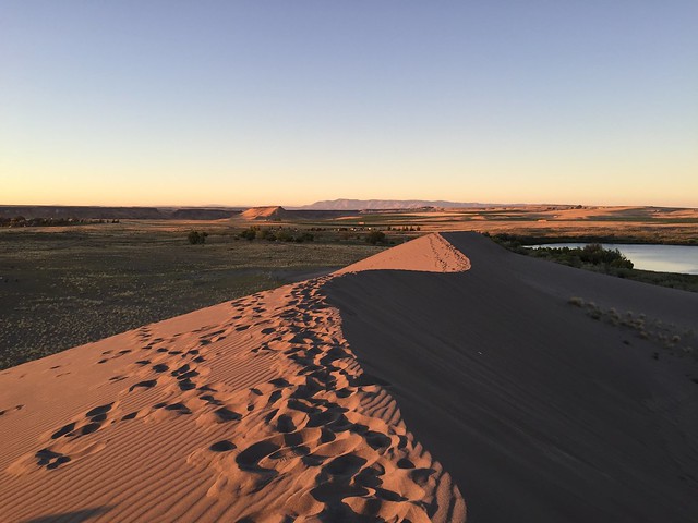
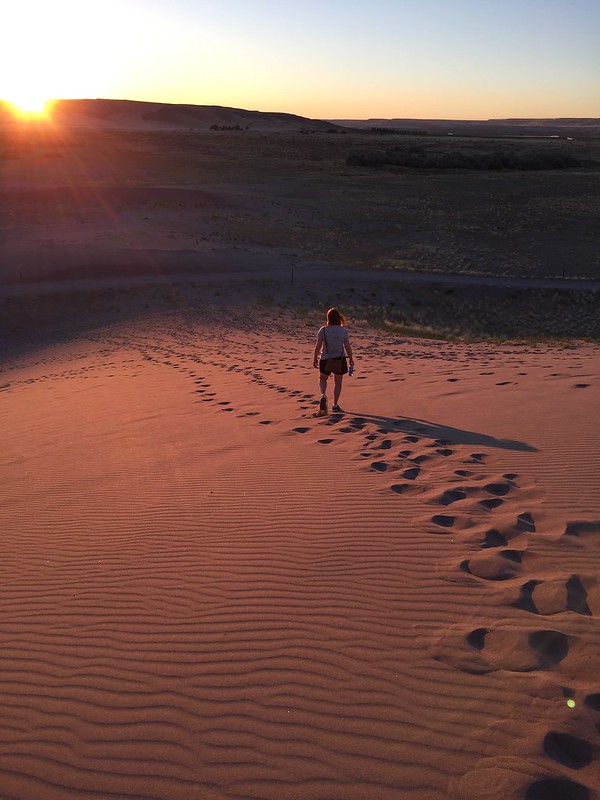
Late evening was the perfect time to arrive at Bruneau Dunes State Park. As we walked up the dunes, the sunset gave the sand a pretty, orange glow.

Bruneau Dunes State Park

Bruneau Dunes State Park

Bruneau Dunes State Park

Bruneau Dunes State Park

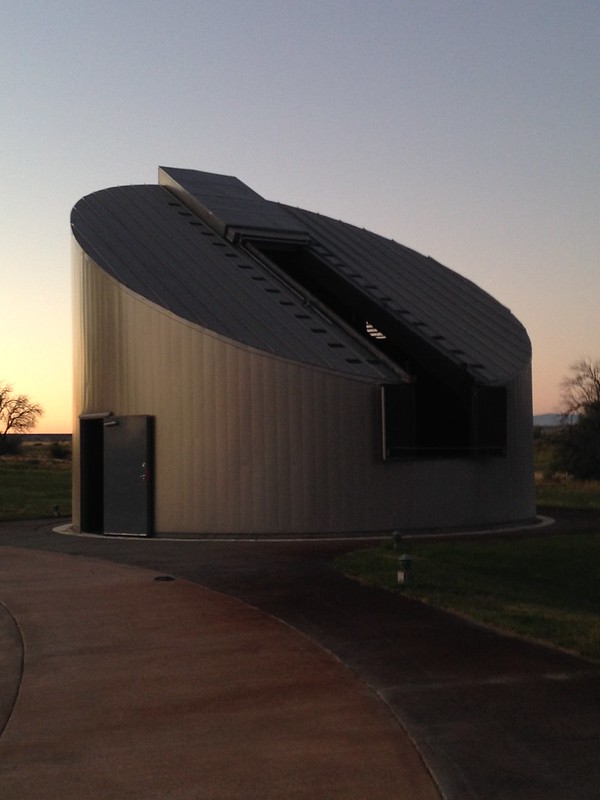
The astronomy program was amazing! We spent about 3 hours walking back and forth between the huge telescope in the observatory and the smaller, but still very powerful, telescopes set up on the terrace. Their observatory is on a track so the building could move around as the guide pointed the telescope at different objects. The telescope is so large that we had to climb a ladder to see through the eyepiece! We saw Jupiter’s Galilean moons, the rings of Saturn, the Witch’s Broom Nebula (and a few others), and we even looked into the center of our galaxy. It was so dark out there that we could even see the Milky Way in the sky! And I saw a shooting star with a bright green trail, so yeah, it was a pretty awesome night!

Bruneau Dunes State Park

Save

Save

Custer State Park

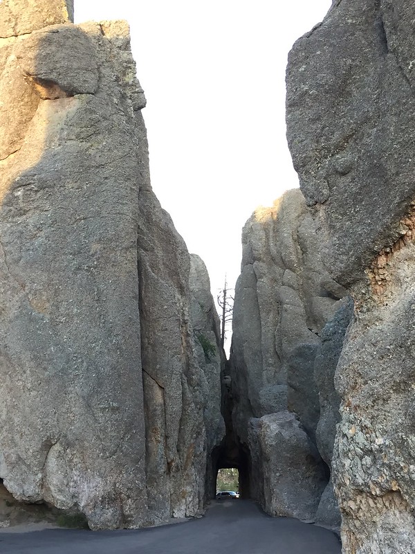
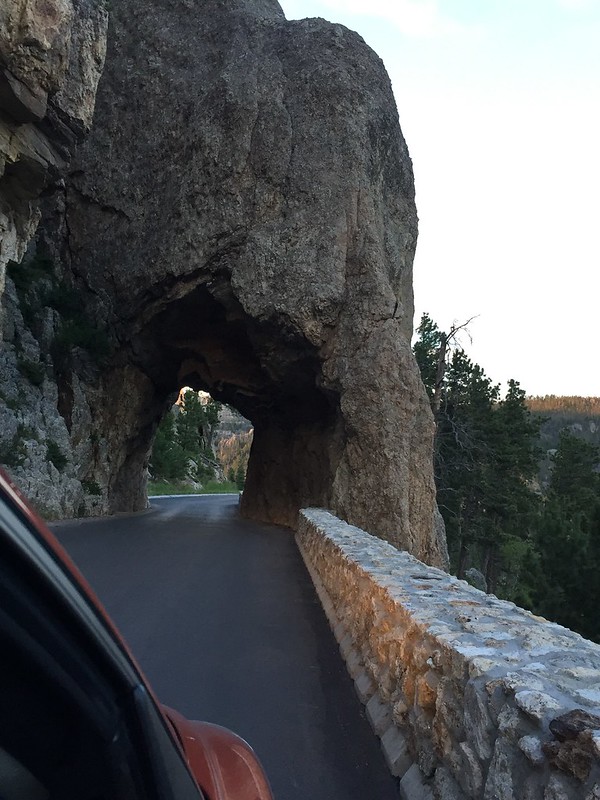
We traveled to Custer State Park along the Iron Mountain Road. This road is bonkers! There are wooden pigtail bridges, where you curly-cue your way up the mountain, several switchbacks, and a few one lane tunnels, which are carved out of the stone to perfectly frame a distant view of Mount Rushmore.

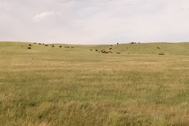
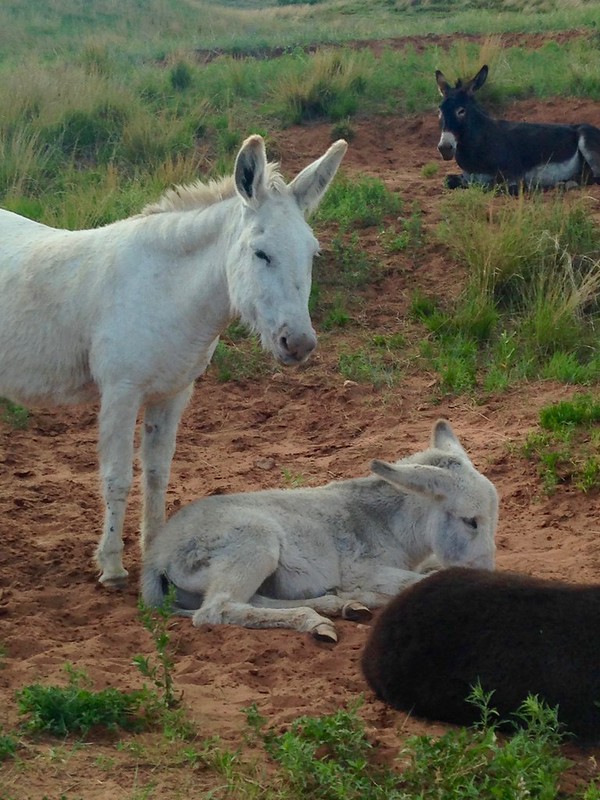
In Custer State Park, we took the Wildlife Loop Road — a 25mph trip along an 18-mile road through vast grasslands. For miles, the only wildlife we saw was one deer, but finally we found the bison herd. TATANKA! (Kevin Costner narrates the film at the new visitor’s center.) They were grazing in the distance, but we had a good view with the binoculars. Further down the loop, we also saw the infamous burros and a bunch of prairie dogs.

Bison at Custer State Park

Binocular view of bison at Custer State Park

Burros at Custer State Park

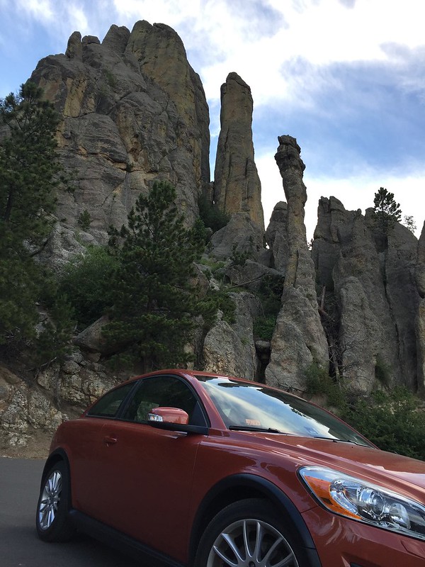
Coming out of the Wildlife Loop, we drove up Needles Highway (thanks for the tip, mom and dad!) to Sylvan Lake. That’s another crazy road! Up close views of towering rocks that seem to pop up out of nowhere, and nice overlooks to see the forest.

Needles Highway, Custer State Park

Scenic overlook on Needles Highway, Custer State Park

Needles Highway, Custer State Park

Needles Highway, Custer State Park

Sunset at Sylvan Lake, Custer State Park


Save